
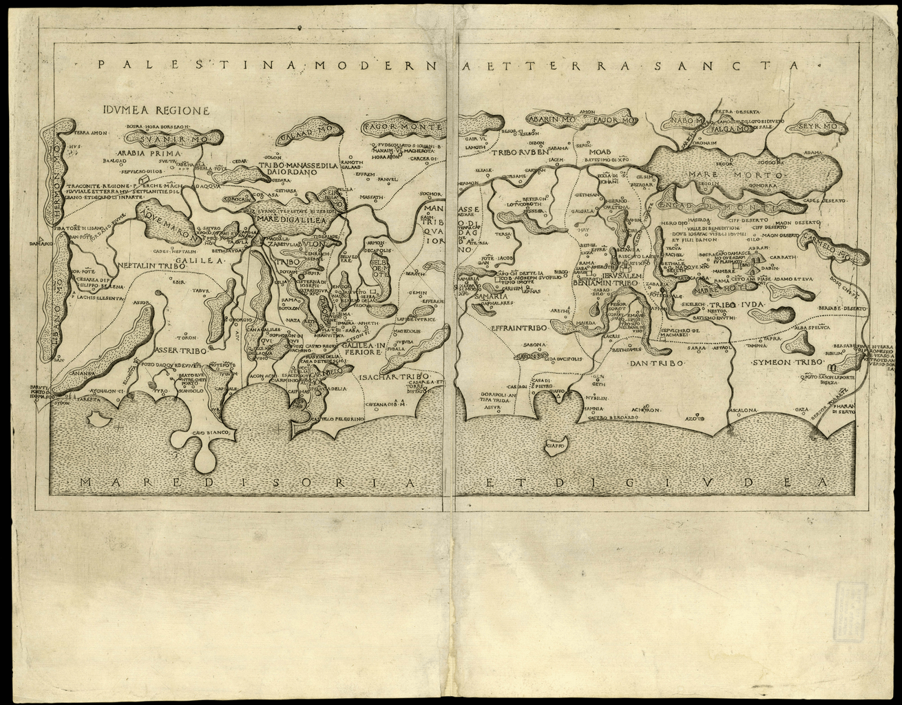
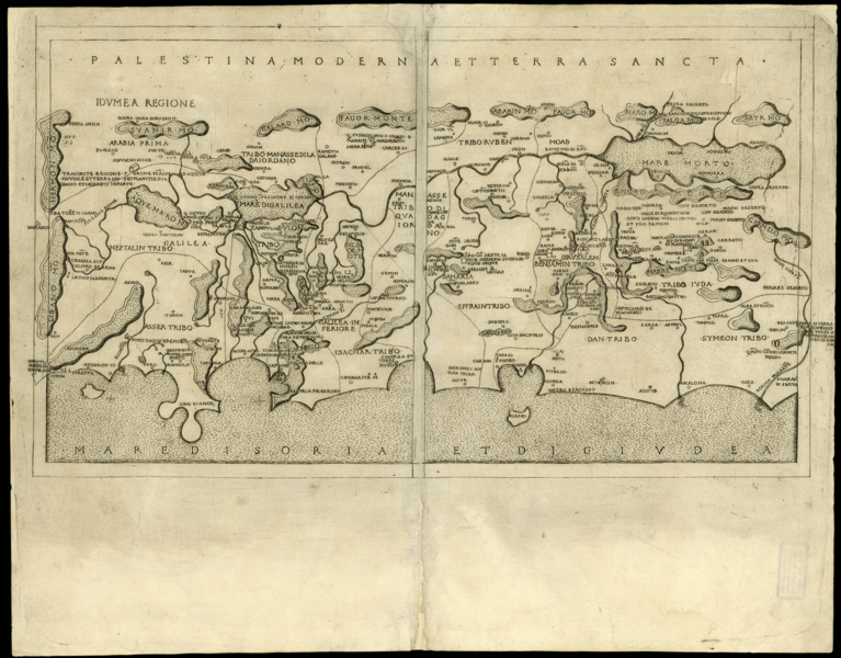
Image: Present-Day Palestine and the Holy Land - 1400s
Size of this preview: 767 × 600 pixels. Other resolutions: 307 × 240 pixels | 1,310 × 1,024 pixels.
Original image (1,310 × 1,024 pixels, file size: 1.06 MB, MIME type: image/png)
Description: "Present-day" Palestine and the Holy Land (Palestina Moderna et Terra Sancta), an extra-Ptolemaic regional map from Seven Days of Geography, Francesco Berlinghieri’s expanded edition of Ptolemy’s Geography (Geographia). Berlinghieri, an Italian scholar and diplomat, was one of the first Italians to interpret, expand upon, and republish the works of the second-century Greek astronomer and geographer.
Title: Present-Day Palestine and the Holy Land - 1400s
Credit: World Digital Library
Author: Ptolemy, translated by Francisco Berlinghieri
Usage Terms: Public domain
License: Public domain
Attribution Required?: No
Image usage
The following page links to this image:

All content from Kiddle encyclopedia articles (including the article images and facts) can be freely used under Attribution-ShareAlike license, unless stated otherwise.