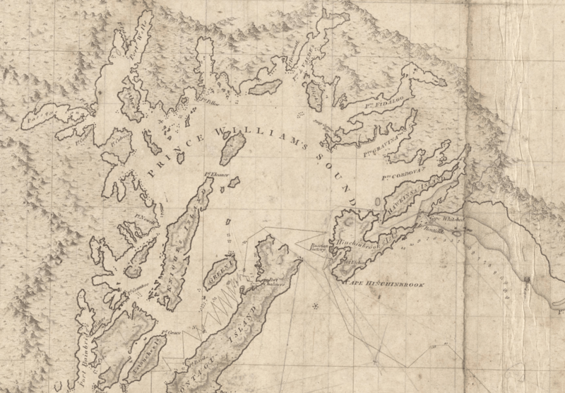
Image: PrinceWilliamSound 1798 chart

Size of this preview: 800 × 556 pixels. Other resolutions: 320 × 222 pixels | 1,726 × 1,200 pixels.
Original image (1,726 × 1,200 pixels, file size: 2.61 MB, MIME type: image/png)
Description: A 1798 chart of Prince William Sound including the track line of HMS Discovery and HMS Chatham. Cropped from the original, which also shows the coast east to Mt St Elias. Published as " Chart shewing part of the coast of N. W. America, with the tracks of His Majesty's sloop Discovery and armed tender Chatham." by J. Edwards & G. Robinson, London, in 1798.
Title: PrinceWilliamSound 1798 chart
Credit: Alaska Digital Archives [1]
Author: Joseph Baker
Usage Terms: Public domain
License: Public domain
Attribution Required?: No
Image usage
The following page links to this image:

All content from Kiddle encyclopedia articles (including the article images and facts) can be freely used under Attribution-ShareAlike license, unless stated otherwise.
