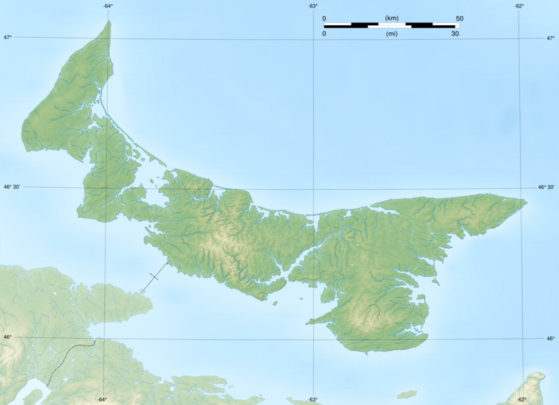
Image: Prince Edward Island topographic map-blank

Description: Blank map of Prince Edward Island, Canada, including a bitmap topographic background. Projection UTM zone 20N, datum : WGS84.
Title: Prince Edward Island topographic map-blank
Credit: Shorelines : NASA Shuttle Radar Topography Mission (SWBD) (public domain) ; GeoBase, National Hydro Network ; Topography and relief : NASA Shuttle Radar Topography Mission (SRTM3 v.2) (public domain) ; Bathymetry: NGDC ETOPO1 (public domain) ; Rivers and lakes : NASA Shuttle Radar Topography Mission (SWBD) (public domain) ; GeoBase, National Hydro Network Boundaries : GeoBase, Administrative Boundaries
Author: Flappiefh
Usage Terms: Creative Commons Attribution-Share Alike 3.0
License: CC BY-SA 3.0
License Link: https://creativecommons.org/licenses/by-sa/3.0
Attribution Required?: Yes
Image usage
The following page links to this image:

