
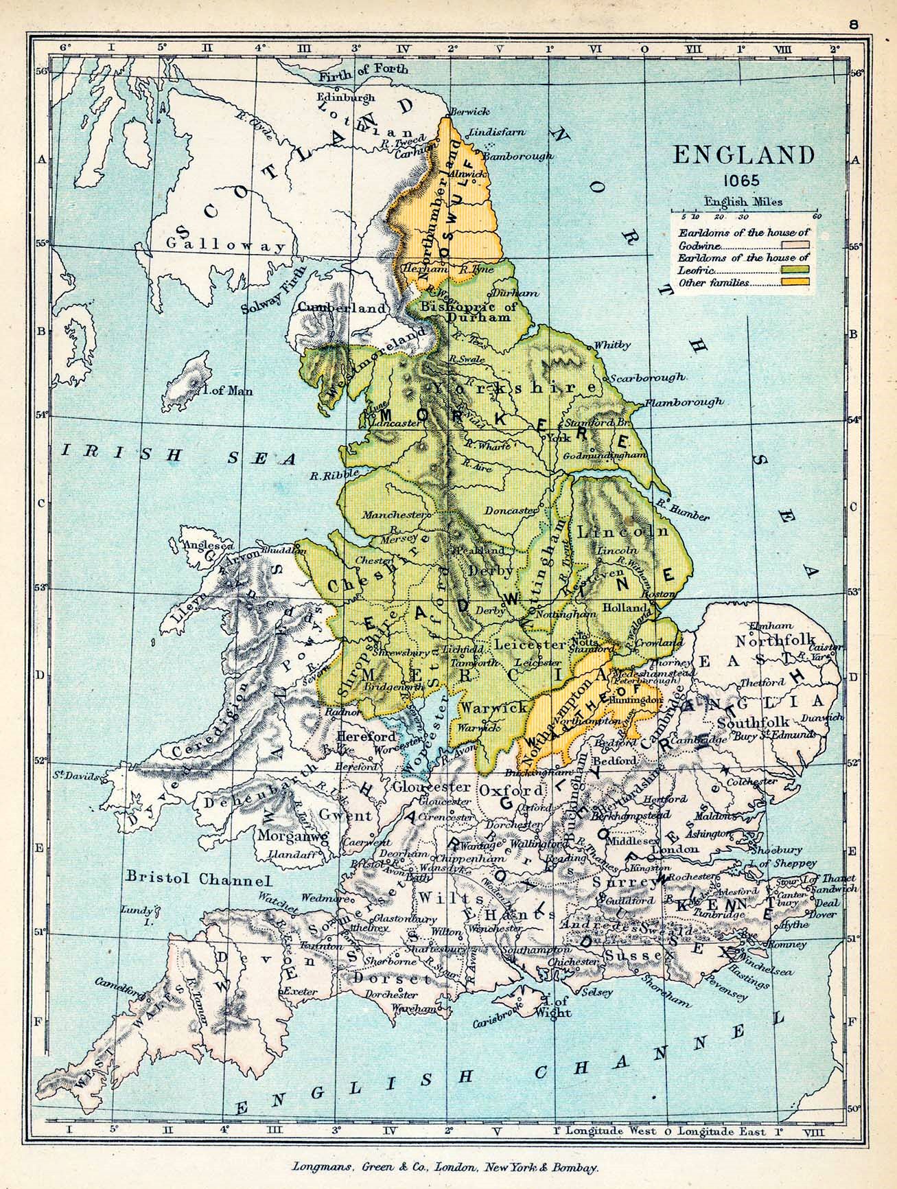
Image: Public Schools Historical Atlas - England 1065
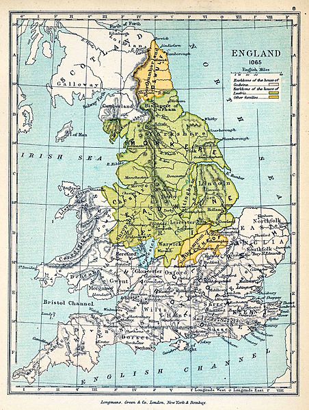
Size of this preview: 452 × 599 pixels. Other resolutions: 181 × 240 pixels | 1,307 × 1,732 pixels.
Original image (1,307 × 1,732 pixels, file size: 723 KB, MIME type: image/jpeg)
Description: Map of England in 1065.
Title: Public Schools Historical Atlas - England 1065
Credit: The Public Schools Historical Atlas by Charles Colbeck. Longmans, Green; New York; London; Bombay. 1905. University of Texas Libraries
Author: Charles Colbeck Edited by Yarl
Usage Terms: Public domain
License: Public domain
Attribution Required?: No
Image usage
The following page links to this image:

All content from Kiddle encyclopedia articles (including the article images and facts) can be freely used under Attribution-ShareAlike license, unless stated otherwise.