
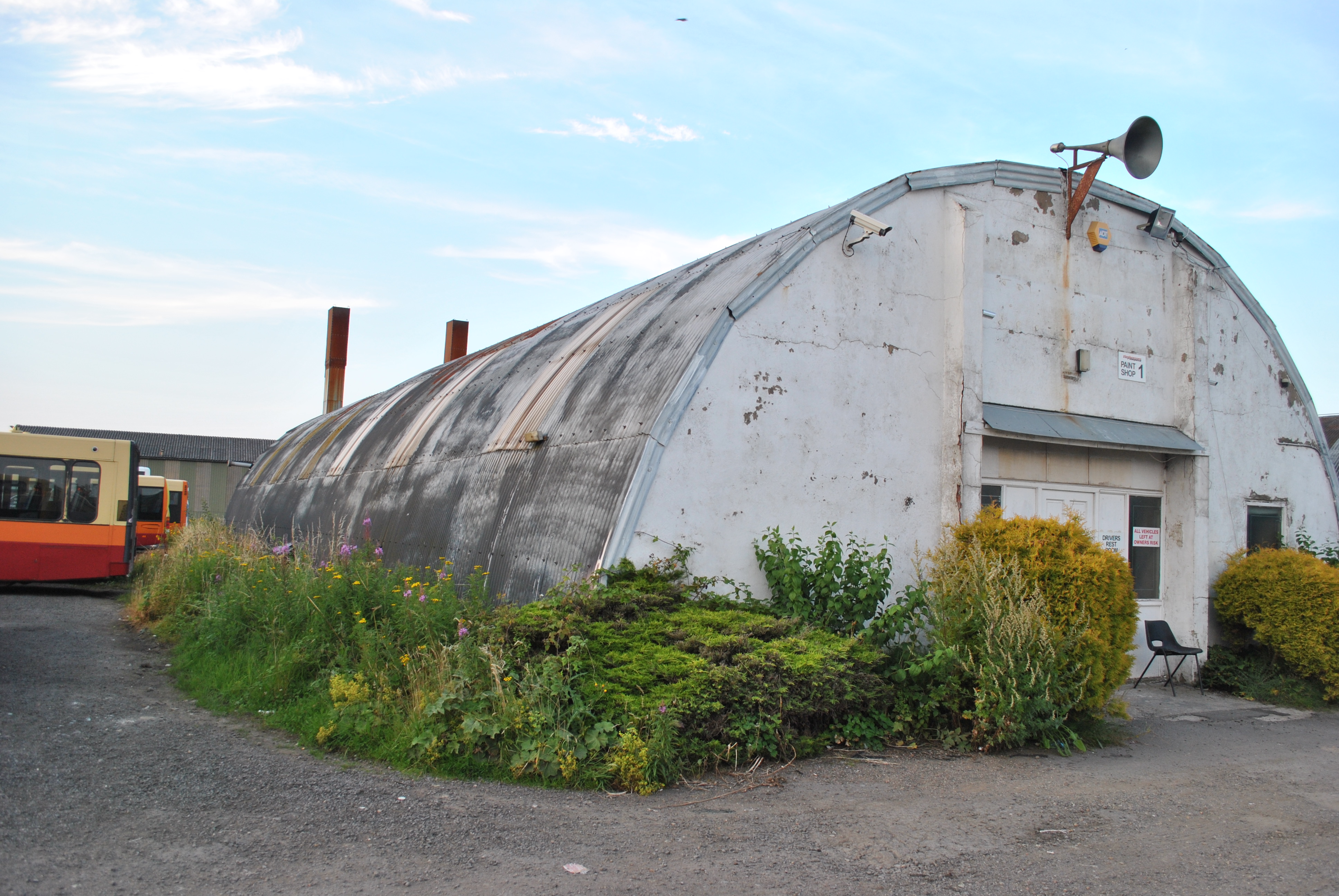
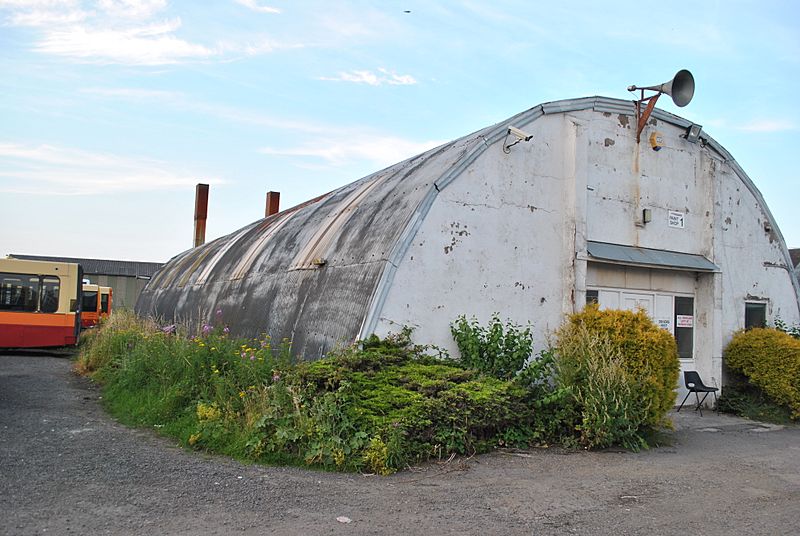
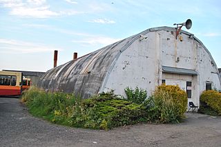
Image: RAF Tholthorpe. Romney Hut - geograph.org.uk - 3178155
Size of this preview: 800 × 536 pixels. Other resolutions: 320 × 214 pixels | 3,872 × 2,592 pixels.
Original image (3,872 × 2,592 pixels, file size: 2.35 MB, MIME type: image/jpeg)
Description: RAF Tholthorpe. Romney Hut. RAF Tholthorpe was 2 miles west of Easingwold. It opened in August 1940 in No 4 Group as a satellite for Linton-on-Ouse and was developed in 1942-3 into a full bomber airfield and allocated to No 6 (RCAF) Group as a sub-station for... more
Title: RAF Tholthorpe. Romney Hut - geograph.org.uk - 3178155
Credit: From geograph.org.uk; transferred by User:Ultra7 using geograph_org2commons.
Author: Chris Huff
Permission: Creative Commons Attribution Share-alike license 2.0
Usage Terms: Creative Commons Attribution-Share Alike 2.0
License: CC BY-SA 2.0
License Link: https://creativecommons.org/licenses/by-sa/2.0
Attribution Required?: Yes
Image usage
The following page links to this image:

All content from Kiddle encyclopedia articles (including the article images and facts) can be freely used under Attribution-ShareAlike license, unless stated otherwise.