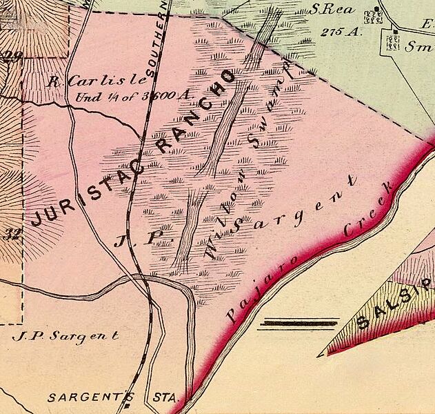
Image: Rancho Juristac Map

Size of this preview: 631 × 600 pixels. Other resolutions: 253 × 240 pixels | 1,488 × 1,414 pixels.
Original image (1,488 × 1,414 pixels, file size: 805 KB, MIME type: image/jpeg)
Description: This is a closeup of the J. P. Sargent ranch and station. (Farm) map number eleven (Santa Clara Co., California. Thompson & West, San Francisco, Cala. 1876). Hand col. lithographed map. Relief shown by hachures. Shows townships, Public Land Survey System townships, sections, quarter sections, land grants, owners of large parcels with acreage, roads, railroads, schools, etc. Includes inset map.
Title: Rancho Juristac Map
Credit: Rumsey Collection
Author: Thompson & West
Usage Terms: Public domain
License: Public domain
Attribution Required?: No
Image usage
The following page links to this image:

All content from Kiddle encyclopedia articles (including the article images and facts) can be freely used under Attribution-ShareAlike license, unless stated otherwise.
