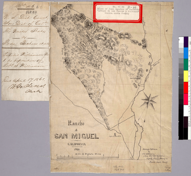
Image: Rancho San Miguel map

Description: Title: Rancho of San Miguel, California, 1850 : [i.e., Arroyo de las Nueces y Bolbones] / surveyed & drawn by R.S. Williamson, Lieut., U.S. Top'l. Engineers, Deputy County Surveyor, Contra Costa County Description: From: U.S. District Court. California, Northern District. Land case 46 ND; land case map D-98 (Bancroft Library).Pen-and-ink on tracing paper.Shows drainage, boundaries, etc.Relief shown by hachures.4362 A75Oriented with north toward the lower left. Creator/Contributor: Williamson, R. S. (Robert Stockton), 1824-1882, author United States. District Court (California : Northern District). Land case. 46, Related Name Indexing Term Date: 1850 Contributing Institution: UC Berkeley, Bancroft Library
Title: Rancho San Miguel map
Credit: https://oac.cdlib.org/ark:/13030/hb3j49n8nx/?brand=oac4
Author: Williamson, Robert Stockton, 1824-1882
Usage Terms: Public domain
License: Public domain
Attribution Required?: No
Image usage
The following page links to this image:

