
Image: Relief map of Croatia
Size of this preview: 621 × 600 pixels. Other resolutions: 249 × 240 pixels | 1,888 × 1,823 pixels.
Original image (1,888 × 1,823 pixels, file size: 4.92 MB, MIME type: image/png)
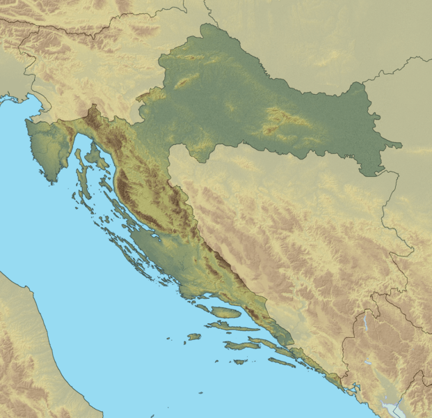
Description: Relief map of Croatia. World Mercator projection N: 46.8° N S: 42.1° N W: 13.1° E E: 19.9° E
Title: Relief map of Croatia
Credit: Own work
Author: Geologicharka
Usage Terms: Creative Commons Attribution-Share Alike 3.0
License: CC BY-SA 3.0
License Link: http://creativecommons.org/licenses/by-sa/3.0
Attribution Required?: Yes
Image usage
The following 3 pages link to this image:

All content from Kiddle encyclopedia articles (including the article images and facts) can be freely used under Attribution-ShareAlike license, unless stated otherwise.