
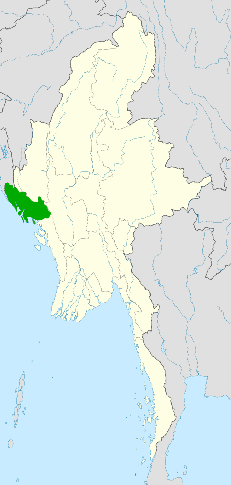
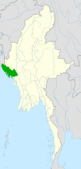
Image: Rohingya language map
Size of this preview: 285 × 599 pixels. Other resolutions: 114 × 240 pixels | 1,200 × 2,520 pixels.
Original image (1,200 × 2,520 pixels, file size: 561 KB, MIME type: image/png)
Description: Map of areas that traditionally had Rohingya speakers, currently most are in refugee camps in Bangladesh
Title: Rohingya language map
Credit: Derivative of Myanmar-locator-map-blank.svg
Author: Own work based off of Uwe Dedering
Usage Terms: Creative Commons Attribution-Share Alike 3.0
License: CC BY-SA 3.0
License Link: https://creativecommons.org/licenses/by-sa/3.0
Attribution Required?: Yes
Image usage
The following page links to this image:

All content from Kiddle encyclopedia articles (including the article images and facts) can be freely used under Attribution-ShareAlike license, unless stated otherwise.