
Image: Rothrock
Size of this preview: 776 × 600 pixels. Other resolutions: 311 × 240 pixels | 1,650 × 1,275 pixels.
Original image (1,650 × 1,275 pixels, file size: 150 KB, MIME type: image/png)
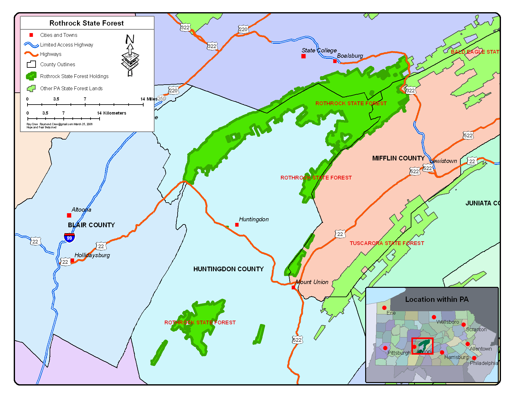
Description: Map created using ArcMap 9.1 with Service Pack 1 by Raymond Crew. Data layers from ESRI Data 2004, PA DCNR data and USGS data. Exported as a 150 dpi PNG file from ArcMap
Title: Rothrock
Credit: Transferred from en.wikipedia to Commons by Premeditated Chaos using CommonsHelper.
Author: Rcc105 at English Wikipedia
Usage Terms: Public domain
License: Public domain
Attribution Required?: No
Image usage
There are no pages that link to this image.

All content from Kiddle encyclopedia articles (including the article images and facts) can be freely used under Attribution-ShareAlike license, unless stated otherwise.