
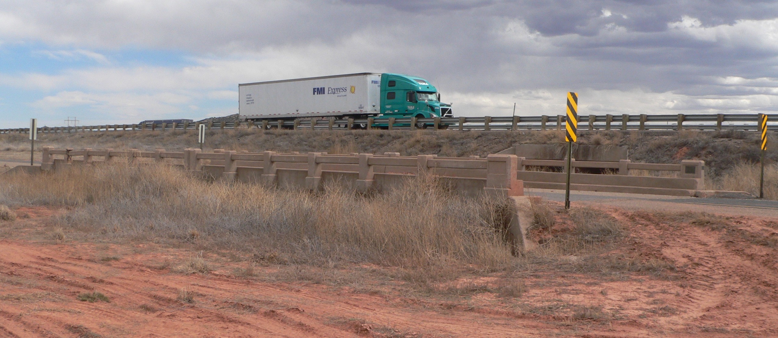
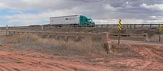
Image: Route 66 bridge 2.5 miles east of Montoya NM from NW 1
Size of this preview: 800 × 348 pixels. Other resolutions: 320 × 139 pixels | 2,552 × 1,111 pixels.
Original image (2,552 × 1,111 pixels, file size: 619 KB, MIME type: image/jpeg)
Description: Bridge carrying Route 66, now frontage road running parallel to and north of Interstate 40, across a tributary of Arroyo de las Palomas 2.5 miles east of Montoya, New Mexico. View is from the northwest. The truck in the background is westbound on I-40.
Title: Route 66 bridge 2.5 miles east of Montoya NM from NW 1
Credit: Own work
Author: Ammodramus
Usage Terms: Creative Commons Zero, Public Domain Dedication
License: CC0
License Link: http://creativecommons.org/publicdomain/zero/1.0/deed.en
Attribution Required?: No
Image usage
The following page links to this image:

All content from Kiddle encyclopedia articles (including the article images and facts) can be freely used under Attribution-ShareAlike license, unless stated otherwise.