
Image: Ruins of Foxtor Farm - geograph.org.uk - 635099
No higher resolution available.
Ruins_of_Foxtor_Farm_-_geograph.org.uk_-_635099.jpg (640 × 427 pixels, file size: 66 KB, MIME type: image/jpeg)
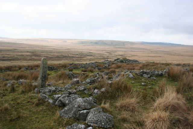
Description: Ruins of Foxtor Farm Behind the ruins of Foxtor Farm is Foxtor Mires. Whiteworks can be seen on the far hillside in the centre of the picture. Foxtor Farm is named on the Harvey map but not on OS maps.
Title: Ruins of Foxtor Farm - geograph.org.uk - 635099
Credit: From geograph.org.uk
Author: Guy Wareham
Usage Terms: Creative Commons Attribution-Share Alike 2.0
License: CC BY-SA 2.0
License Link: https://creativecommons.org/licenses/by-sa/2.0
Attribution Required?: Yes
Image usage
The following page links to this image:

All content from Kiddle encyclopedia articles (including the article images and facts) can be freely used under Attribution-ShareAlike license, unless stated otherwise.