
Image: San Francisquito Reservoir on topo v2
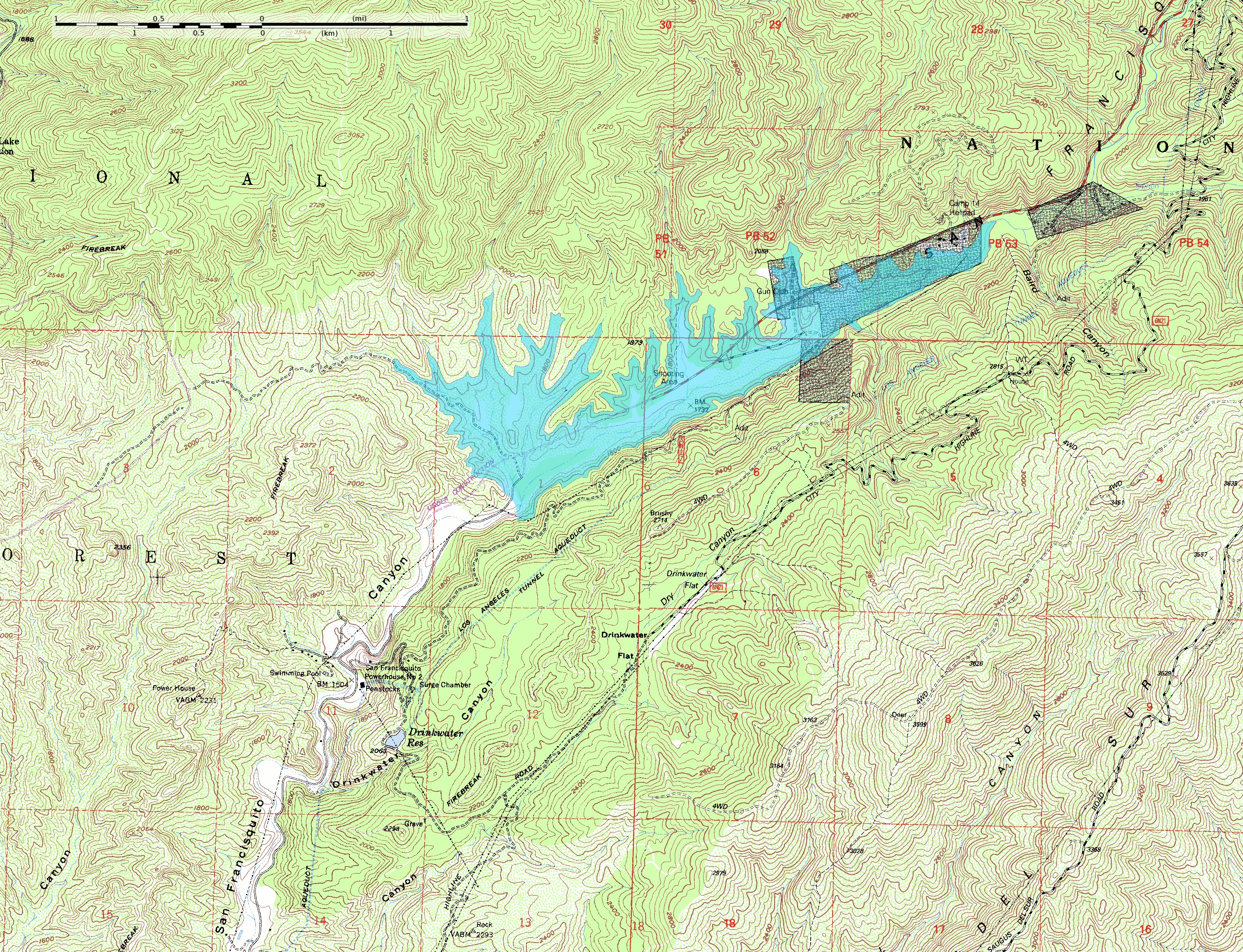
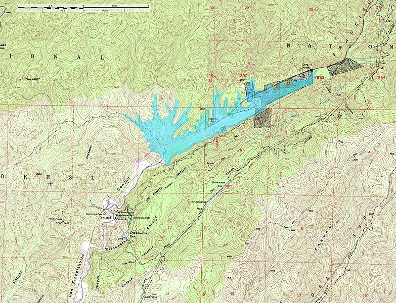
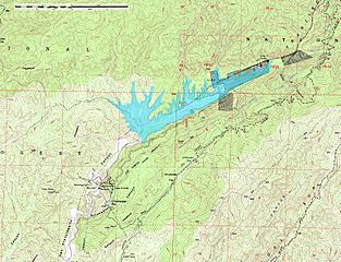
Description: This map shows the approximate extent of the former San Francisquito Reservoir. The reservoir was impounded by the St. Francis Dam which failed in 1928. According to this depiction the reservoir was approximately 2.8 miles (4.5 km) long. In addition to the reservoir this map also shows the location of part of the Los Angeles Aqueduct from which it was filled; it was built as a storage stucture for the aqueduct. Also visible on the map at full size is the location of Powerhouse #2 which figures in the story of the flood created by the failure of the dam. The dark blocks indicate private inholdings in the national forest. The reservoir extent was determined by tracing at or just below the 1840-foot elevation contour; the pool elevation was about 1835 feet when full and when the dam collapsed. The topo map includes sections of the Warm Springs Mountain 7.5" quadrangle (o34118e5) and the Green Valley quadrangle (o34118e4) from the USGS obtained as DRG files. Note: The location and orientation of the dam (at the southwest extent of the reservoir) is approximate. Additionally, the elevation data in this map is from after the breach of the dam, which caused significant erosion of the hillside at the southeast abuttment; the dam was probably a little smaller than this reconstruction depicts.
Title: San Francisquito Reservoir on topo v2
Credit: Own work
Author: Kbh3rd
Usage Terms: Creative Commons Attribution-Share Alike 3.0
License: CC BY-SA 3.0
License Link: https://creativecommons.org/licenses/by-sa/3.0
Attribution Required?: Yes
Image usage
The following page links to this image:
