
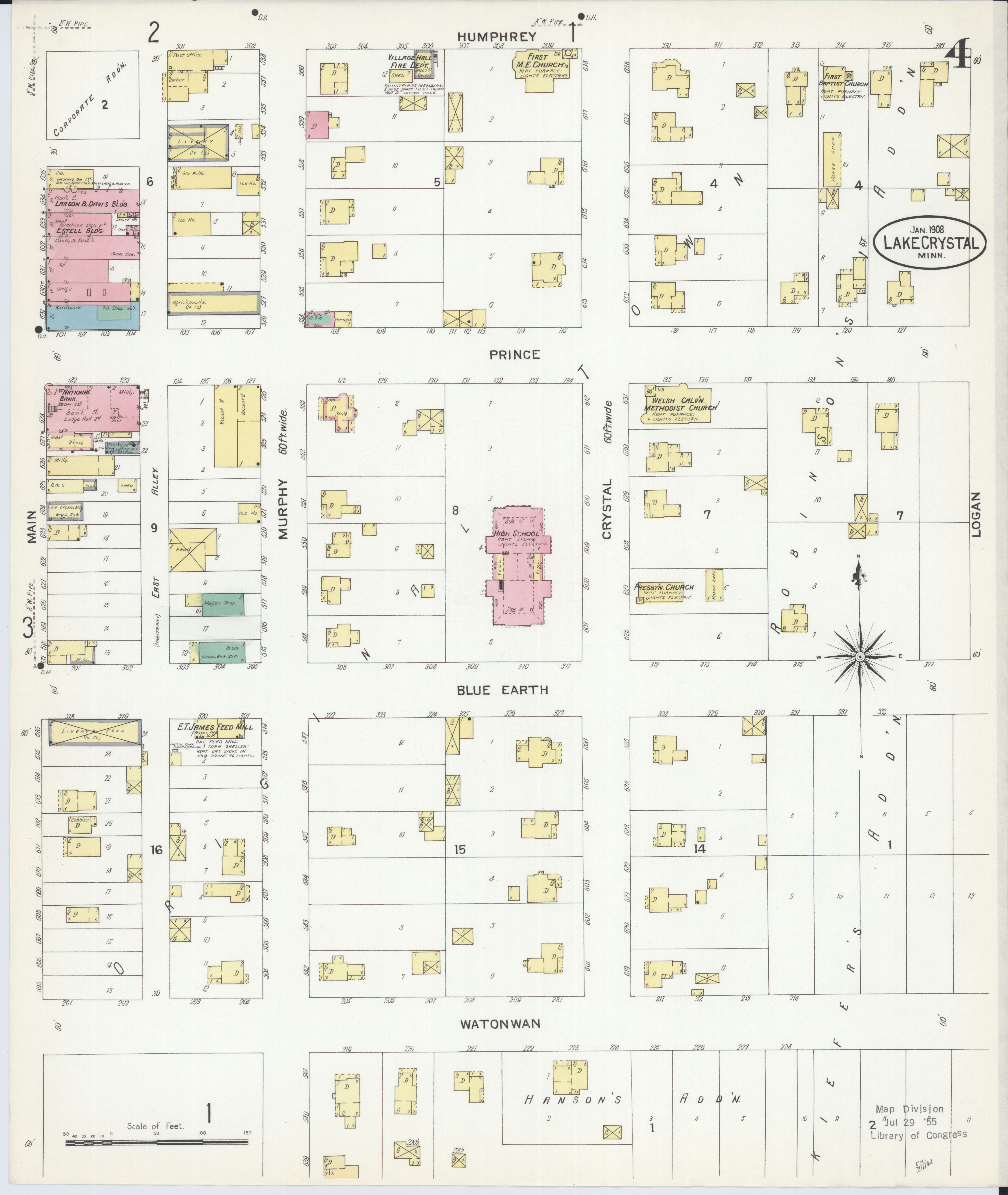
Image: Sanborn Fire Insurance Map from Lake Crystal, Blue Earth County, Minnesota. LOC sanborn04322 003-4
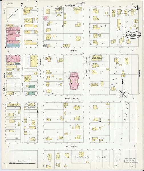
Size of this preview: 505 × 599 pixels. Other resolutions: 202 × 240 pixels | 6,450 × 7,650 pixels.
Original image (6,450 × 7,650 pixels, file size: 3.64 MB, MIME type: image/jpeg)
Description: Jan 1908. 4 Sheet(s).
Title: Sanborn Fire Insurance Map from Lake Crystal, Blue Earth County, Minnesota. LOC sanborn04322 003-4
Credit: https://www.loc.gov/item/sanborn04322_003/
Author: Unknown authorUnknown author
Permission: This map is available from the United States Library of Congress's Geography & Map Division under the digital ID g4144lm.g043221908. This tag does not indicate the copyright status of the attached work. A normal copyright tag is still required. See Commons:Licensing for more information.
Usage Terms: Public domain
License: Public domain
Attribution Required?: No
Image usage
The following page links to this image:

All content from Kiddle encyclopedia articles (including the article images and facts) can be freely used under Attribution-ShareAlike license, unless stated otherwise.