
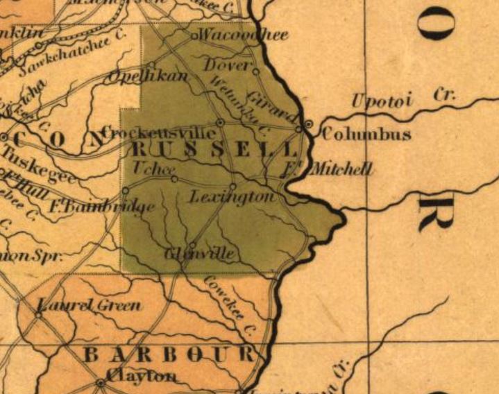
Image: Sand Fort and Lexington
No higher resolution available.
Sand_Fort_and_Lexington.jpg (719 × 568 pixels, file size: 81 KB, MIME type: image/jpeg)
Description: Map showing Lexington, Alabama (Sandfort) in 1841. The community is located on the Federal Road.
Title: Sand Fort and Lexington
Credit: http://alabamamaps.ua.edu/historicalmaps/alabama/index2_1841-1845.htm
Author: Henry Schenck Tanner
Usage Terms: Public domain
License: Public domain
Attribution Required?: No
Image usage
The following page links to this image:

All content from Kiddle encyclopedia articles (including the article images and facts) can be freely used under Attribution-ShareAlike license, unless stated otherwise.