
Image: Sarasota map city boundary highlighted
No higher resolution available.
Sarasota_map_city_boundary_highlighted.png (750 × 600 pixels, file size: 73 KB, MIME type: image/png)
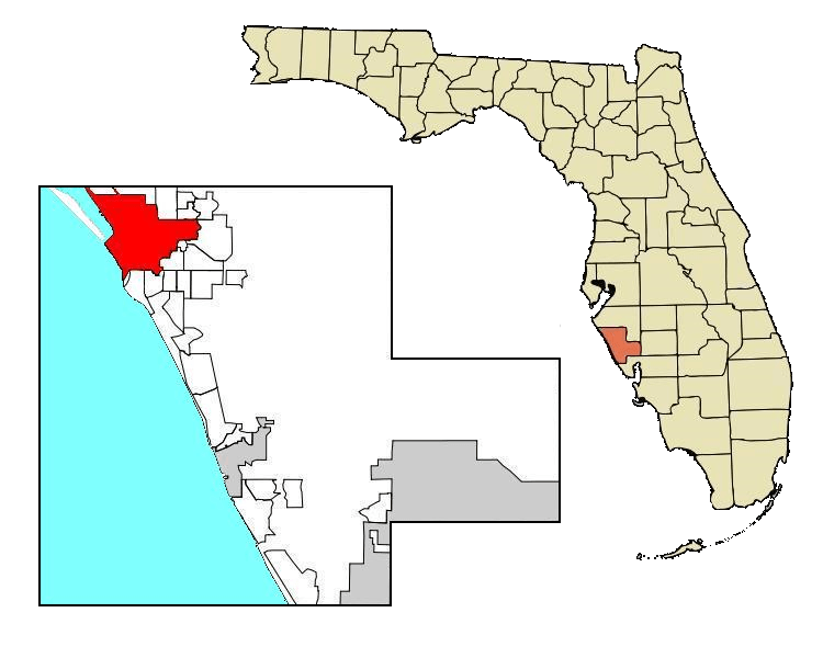
Description: State of Florida with city limits of Sarasota highlighted in red modified from File:Sarasota map 83d40m city boundary cor4wGoM highlighted.JPG
Title: Sarasota map city boundary highlighted
Credit: Own work
Author: The Grid
Usage Terms: Creative Commons Attribution-Share Alike 4.0
License: CC BY-SA 4.0
License Link: https://creativecommons.org/licenses/by-sa/4.0
Attribution Required?: Yes
Image usage
The following page links to this image:

All content from Kiddle encyclopedia articles (including the article images and facts) can be freely used under Attribution-ShareAlike license, unless stated otherwise.