
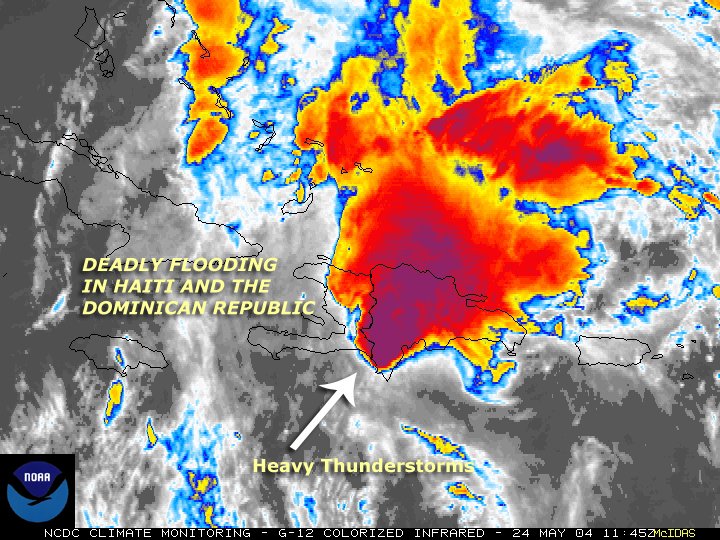
Image: Satellite image of flooding in Hispaniola (2004)
No higher resolution available.
Satellite_image_of_flooding_in_Hispaniola_(2004).jpg (720 × 540 pixels, file size: 478 KB, MIME type: image/jpeg)
Description: Flood radar for May 2004 Caribbean floods
Title: Satellite image of flooding in Hispaniola (2004)
Credit: NOAA
Author: NOAA
Usage Terms: Public domain
License: PD
Attribution Required?: No
Image usage
The following page links to this image:

All content from Kiddle encyclopedia articles (including the article images and facts) can be freely used under Attribution-ShareAlike license, unless stated otherwise.
.jpg)