
Image: Sea of Marmara map
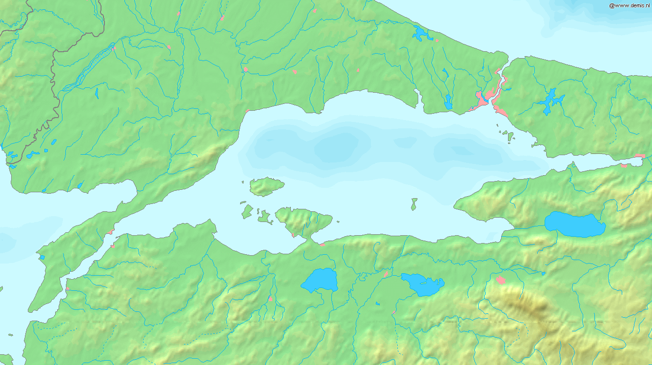
Description: English: Map of the Sea of Marmara. Bounding box West 26°, South 39.8°, East 30°, North 41.5°.
Title: Sea of Marmara map
Credit: Website Demis.nl
Author: Website Demis.nl
Permission: This image is in the public domain because it came from the site http://www.demis.nl/home/pages/Gallery/examples.htm and was released by the copyright holder. Permission is granted to copy, distribute and/or modify this map since it is based on free of copyright images from: www.demis.nl. See also approval email on de.wp and its clarification. Deutsch | English | Nederlands | slovenščina | +/− This work has been released into the public domain by its author, www.demis.nl. This applies worldwide. In some countries this may not be legally possible; if so: www.demis.nl grants anyone the right to use this work for any purpose, without any conditions, unless such conditions are required by law.
Usage Terms: Public domain
License: Public domain
Attribution Required?: No
Image usage
There are no pages that link to this image.
