
Image: Seasalter Levels - geograph.org.uk - 145409
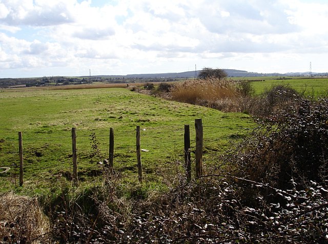
Description: Seasalter Levels. Marked on the map as a nature reserve and bordered by caravan parks the marsh (along with Graveney, Cleve and Nagden Marshes to the west) covers an area of about eleven square kilometres between here and Faversham Creek. It has been drained since the sea wall was built in the 14th century and is grazed by sheep and cattle. The feathery tops of the reeds show the positions of the drainage dykes. Looking south from Faversham Road, the pylons are in TR0863.
Title: Seasalter Levels - geograph.org.uk - 145409
Credit: From geograph.org.uk
Author: Penny Mayes
Usage Terms: Creative Commons Attribution-Share Alike 2.0
License: CC BY-SA 2.0
License Link: https://creativecommons.org/licenses/by-sa/2.0
Attribution Required?: Yes
Image usage
The following page links to this image:
