
Image: Seutter Bodensee Constance
Size of this preview: 800 × 456 pixels. Other resolutions: 320 × 182 pixels | 1,100 × 627 pixels.
Original image (1,100 × 627 pixels, file size: 500 KB, MIME type: image/jpeg)
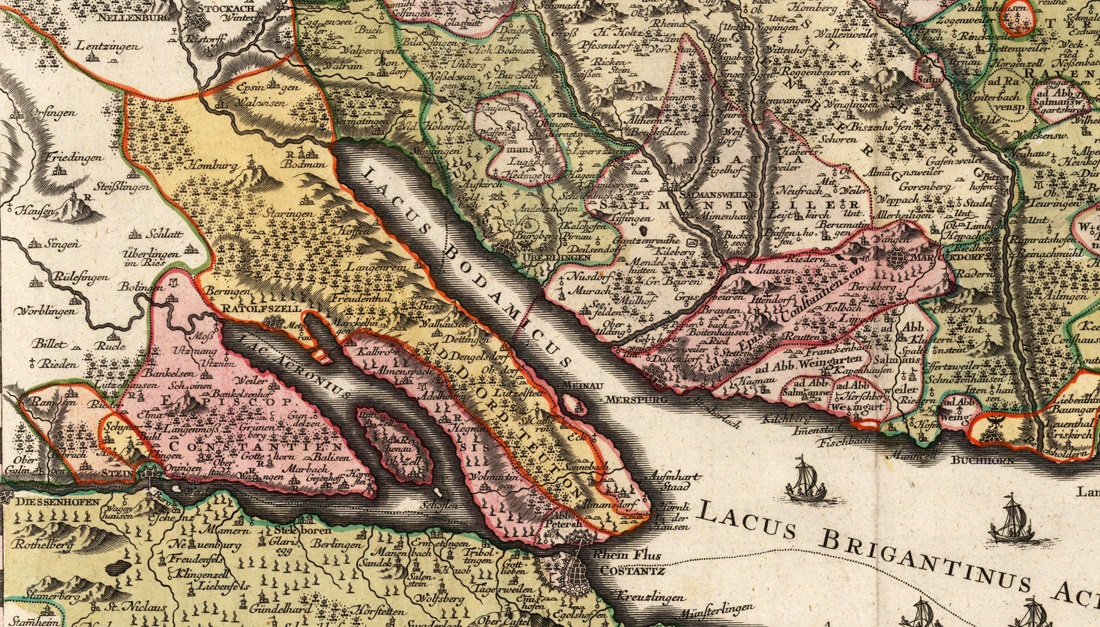
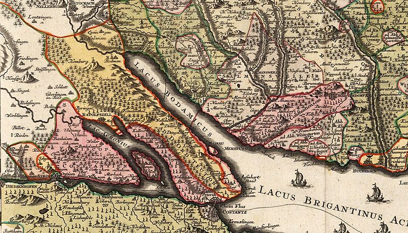
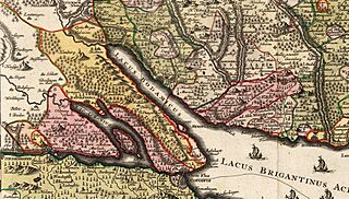
Description: Portion of a mid-18th century Latin-language map centered on Lake Constance (Bodensee) showing the scattered territories of the Prince-Bishopric of Constance (in deep pink only). A few remote enclaves belonging to the bishopric are not shown. From the early 16th century onward, the prince-bishops resided at Meersburg ("Merspurg"). The territories in yellow on the left half of the map belonged to the Teutonic Order.
Title: Seutter Bodensee Constance
Credit: Commons file: File:Matthias Seutter Bodensee 18 Jh.jpg
Author: Matthias Seutter, c. 1740-1750
Usage Terms: Public domain
License: Public domain
Attribution Required?: No
Image usage
The following page links to this image:

All content from Kiddle encyclopedia articles (including the article images and facts) can be freely used under Attribution-ShareAlike license, unless stated otherwise.