
Image: Simmons Basin ASTER
No higher resolution available.
Simmons_Basin_ASTER.jpg (640 × 363 pixels, file size: 28 KB, MIME type: image/jpeg)
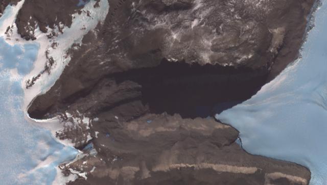
Description: Satellite image of the Simmons Basin, north of Taylor Glacier in Victoria Land, Antarctica, taken by ASTER Earth-observing instrument on NASA's Terra satellite. Top: Friis Hills, in their shadow Simmons Lake; bottom (truncated): Solitary Rocks
Usage Terms: Public domain
Image usage
The following page links to this image:

All content from Kiddle encyclopedia articles (including the article images and facts) can be freely used under Attribution-ShareAlike license, unless stated otherwise.