
Image: Simple map of Bloomfield Township, Oakland County, MI

Size of this preview: 800 × 502 pixels. Other resolutions: 320 × 201 pixels | 956 × 600 pixels.
Original image (956 × 600 pixels, file size: 89 KB, MIME type: image/jpeg)
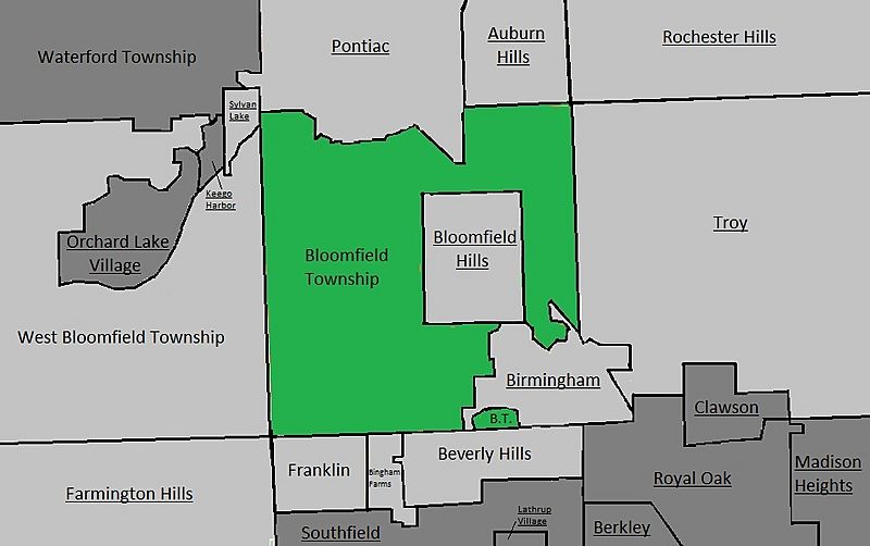
Description: A simple map of Bloomfield Township, Oakland County, Michigan. Neighbouring places are in light grey, other places in dark grey. Cities are underlined.
Title: Simple map of Bloomfield Township, Oakland County, MI
Credit: Own work
Author: Ycleymans
Usage Terms: Creative Commons Attribution-Share Alike 4.0
License: CC BY-SA 4.0
License Link: http://creativecommons.org/licenses/by-sa/4.0
Attribution Required?: Yes
Image usage
There are no pages that link to this image.

All content from Kiddle encyclopedia articles (including the article images and facts) can be freely used under Attribution-ShareAlike license, unless stated otherwise.