
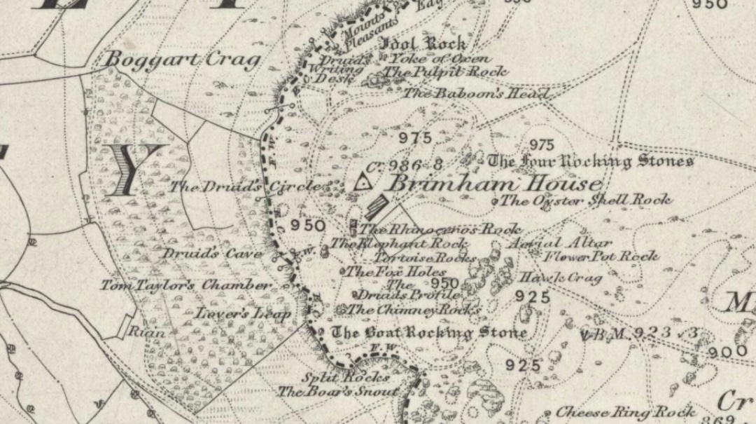
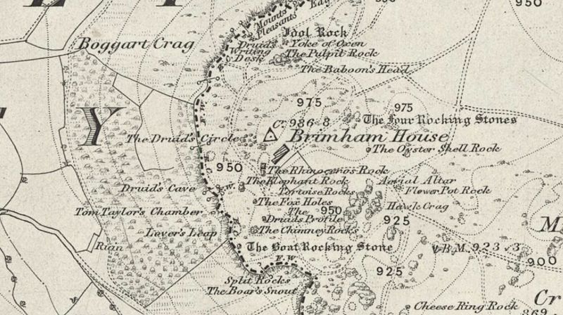
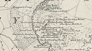
Image: Six inch map 1854 - Brimham Rocks
Description: Section of the OS six inch map of part of North Yorkshire, 1854. Showing part of the Brimham Rocks Site, on Brimham Moor. Among other things, it mentions a "Druids Circle" north west of Rocks House (now the National Trust visitors centre for Brimham Rocks). This supposed Druids' stone circle is a natural arrangement of weatherworn rock stacks.
Title: Six inch map 1854 - Brimham Rocks
Credit: Megalithix
Author: Unknown authorUnknown author
Permission: Public domainPublic domainfalsefalse This work is in the public domain in its country of origin and other countries and areas where the copyright term is the author's life plus 70 years or fewer. This work is in the public domain in the United States because it was published (or registered with the U.S. Copyright Office) before January 1, 1926. This file has been identified as being free of known restrictions under copyright law, including all related and neighboring rights. https://creativecommons.org/publicdomain/mark/1.0/PDMCreative Commons Public Domain Mark 1.0falsefalse
Usage Terms: Public domain
License: Public domain
Attribution Required?: No
Image usage
The following page links to this image:
