
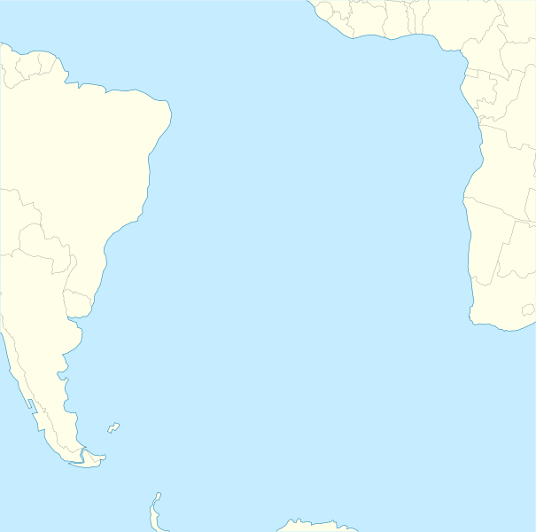
Image: South Atlantic Ocean laea location map

Size of this PNG preview of this SVG file: 605 × 600 pixels. Other resolution: 242 × 240 pixels.
Original image (SVG file, nominally 710 × 704 pixels, file size: 93 KB)
Description: Relief location map of Atlantic_Ocean. Projection: Lambert azimuthal equal-area projection. Area of interest: N: 10.0° N S: -70.0° N W: -60.0° E E: 20.0° E Projection center: NS: -30.0° N WE: -20.0° E GMT projection: -JA-20.0/-30.0/180/19.998266666666666c GMT region: -R-101.75576886232234/-51.72069985658921/20.062665960105004/15.049750517347888r Land and shoreline: 1:110m Natural Earth Datasets, borders 1:50m
Title: South Atlantic Ocean laea location map
Credit: Own work
Author: Tentotwo
Usage Terms: Creative Commons Attribution-Share Alike 3.0
License: CC BY-SA 3.0
License Link: https://creativecommons.org/licenses/by-sa/3.0
Attribution Required?: Yes
Image usage
The following page links to this image:

All content from Kiddle encyclopedia articles (including the article images and facts) can be freely used under Attribution-ShareAlike license, unless stated otherwise.