
Image: Southern Uruguay location map

Size of this PNG preview of this SVG file: 799 × 221 pixels. Other resolution: 320 × 89 pixels.
Original image (SVG file, nominally 921 × 255 pixels, file size: 64 KB)
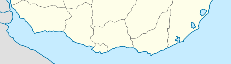
Description: Location map of the southern coast of Uruguay, a soverign state in South America. Equirectangular projection, Geographic limits of the map: N: 33.752° S S: 35.128° S W: 58.705° W E: 52.976° W
Title: Southern Uruguay location map
Credit: Own work, based on Argentina_location_map.svg by NordNordWest Uruguay_departments_blank.svg by NielsF Uruguay location map.svg by Spischot and Antonsusi
Author: Philip Terry Graham
Usage Terms: Creative Commons Attribution-Share Alike 3.0
License: CC BY-SA 3.0
License Link: https://creativecommons.org/licenses/by-sa/3.0
Attribution Required?: Yes
Image usage
The following page links to this image:

All content from Kiddle encyclopedia articles (including the article images and facts) can be freely used under Attribution-ShareAlike license, unless stated otherwise.