
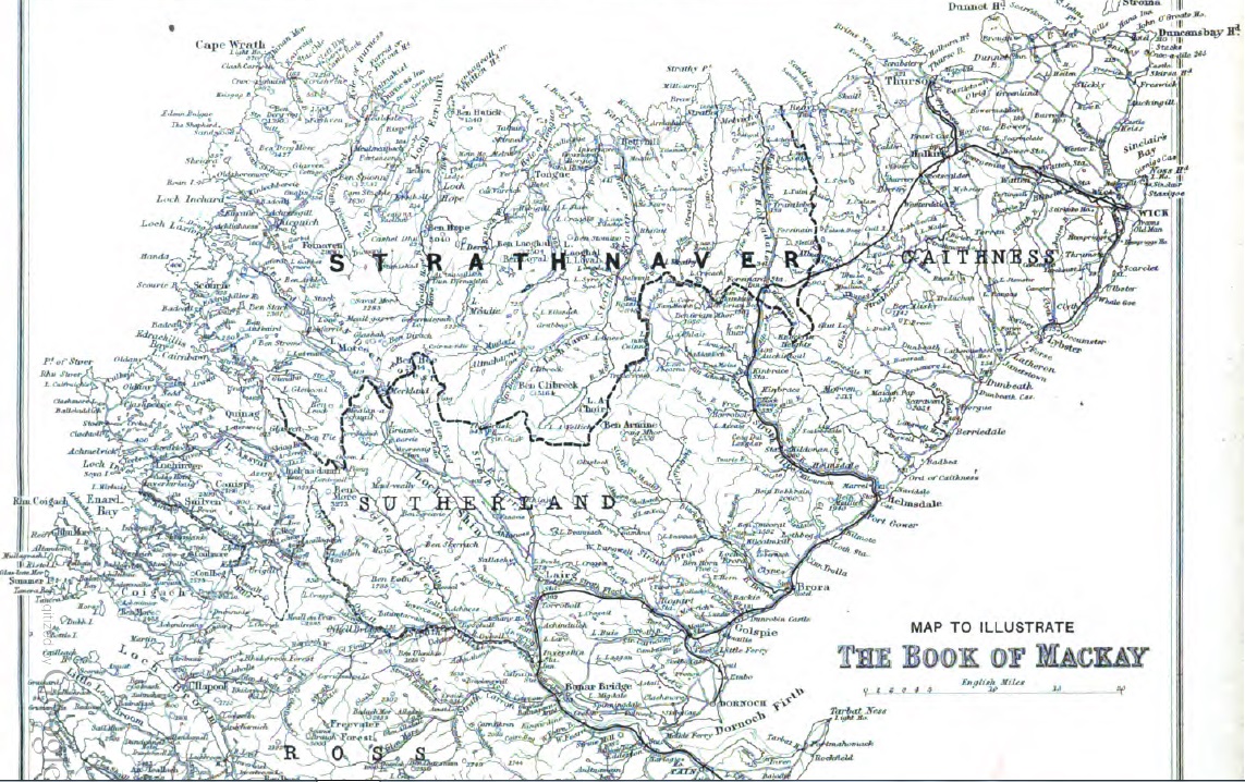
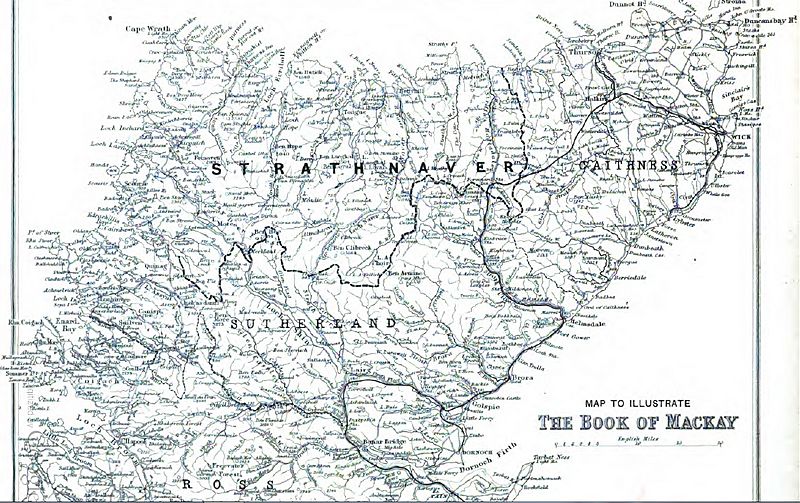
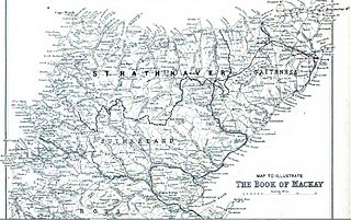
Image: Strathnaver map
Size of this preview: 800 × 503 pixels. Other resolutions: 320 × 201 pixels | 1,143 × 718 pixels.
Original image (1,143 × 718 pixels, file size: 433 KB, MIME type: image/jpeg)
Description: Map showing the former province of Strathnaver in the Scottish Highlands
Title: Strathnaver map
Credit: From The Book of Mackay which was published in 1906 by Angus Mackay, and so out of the 100 year copyright period
Author: Angus Mackay
Usage Terms: Public domain
License: Public domain
Attribution Required?: No
Image usage

All content from Kiddle encyclopedia articles (including the article images and facts) can be freely used under Attribution-ShareAlike license, unless stated otherwise.