
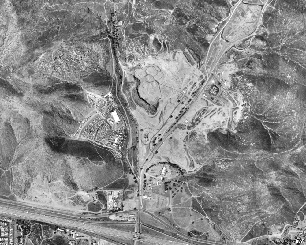
Image: Stringfellow Acid Pits USGS
Size of this preview: 750 × 600 pixels. Other resolutions: 300 × 240 pixels | 1,000 × 800 pixels.
Original image (1,000 × 800 pixels, file size: 194 KB, MIME type: image/jpeg)
Description: 2002 USGS orthophoto of the Stringfellow Acid Pits, a Superfund toxic waste site in unincorporated Riverside County, California.
Title: Stringfellow Acid Pits USGS
Credit: USGS The National Map, via MSR Maps (formerly TerraServer-USA) http://msrmaps.com/download.aspx?T=1&S=11&Z=11&X=1143&Y=9411&W=3
Author: United States Geological Survey (USGS)
Usage Terms: Public domain
License: Public domain
Attribution Required?: No
Image usage
The following page links to this image:

All content from Kiddle encyclopedia articles (including the article images and facts) can be freely used under Attribution-ShareAlike license, unless stated otherwise.