
Image: Tabular Hills link walk - geograph.org.uk - 244722
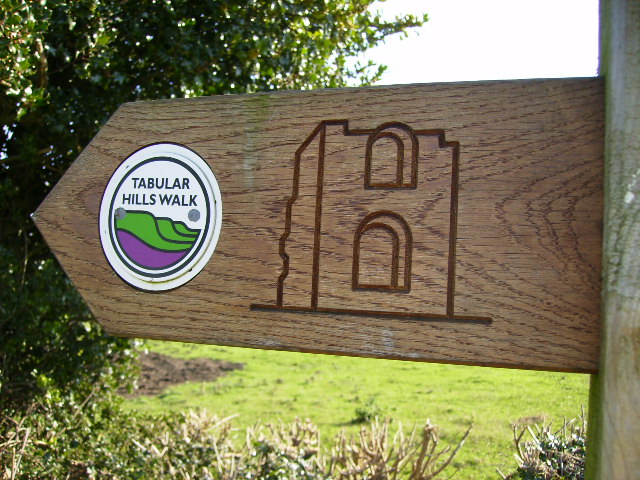
Description: Tabular Hills link walk. The Tabular Hills walk links the two southerly ends of the Cleveland Way National Trail, enabling walkers to walk the complete perimeter if they have the stamina. The walk runs across the southern edge of The North York Moors National Park from Helmsley in the west to Scalby Mills on the north sea coast. The route measures 80km (50 miles) and wanders through sparsely settled countryside between Scalby and Levisham, then includes the villages of Newton-on-Rawcliffe, Cropton, Appleton-le-Moors, Hutton-le-Hole, Gillamoor, Fadmoor and Carlton. There is plenty of B&B accommodation on this linear route making it ideal as a 4 or 5 day walk.
Title: Tabular Hills link walk - geograph.org.uk - 244722
Credit: From geograph.org.uk
Author: Phil Catterall
Usage Terms: Creative Commons Attribution-Share Alike 2.0
License: CC BY-SA 2.0
License Link: https://creativecommons.org/licenses/by-sa/2.0
Attribution Required?: Yes
Image usage
The following page links to this image:
