
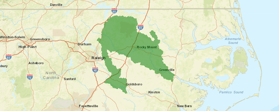
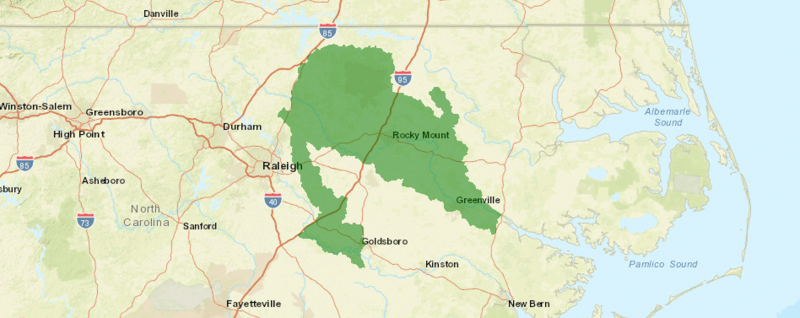
Image: Tar River Spinymussel Range Map
Size of this preview: 800 × 318 pixels. Other resolutions: 320 × 127 pixels | 948 × 377 pixels.
Original image (948 × 377 pixels, file size: 243 KB, MIME type: image/png)
Description: This file represents the range map of the tar river spinymussel.
Title: Tar River Spinymussel Range Map
Credit: U.S. Fish & Wildlife Service
Author: U.S. Fish & Wildlife Service
Usage Terms: Public domain
License: Public domain
Attribution Required?: No
Image usage
The following page links to this image:

All content from Kiddle encyclopedia articles (including the article images and facts) can be freely used under Attribution-ShareAlike license, unless stated otherwise.