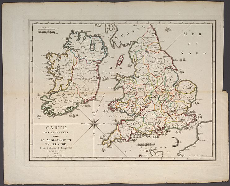
Image: Tardieu, Invasions of England and Ireland, 1798, Cornell CUL PJM 1028 01

Description: This map shows attempted invasions of England and Ireland from 1066 to 1797.
Title: Invasions of England and Ireland Full TItle: Carte des Descentes Faites en Angleterre et en Irlande Depuis Guillaume la Conquérant jusqu'à nos jours. (Map of the Invasions of England and Ireland from William the Conqueror to the Present).
Credit: Cornell University: Persuasive Cartography, The PJ Mode Collection Girardin, Stanislas. An VI [year six of the French revolution]. Notice historique des descentes qui ont été faites dans les isles britanniques depuis Guillaume-le-conquérant jusqu'à l'an VI de la République française, Avec une carte enluminée, gravée par P. Tardieu. Paris: Crarpelet.
Author: Pierre François Tardieu
Usage Terms: Public domain
License: Public domain
Attribution Required?: No
Image usage
The following page links to this image:

