
Image: Tennessee-valley-mt-roosevelt1
Size of this preview: 800 × 416 pixels. Other resolutions: 320 × 166 pixels | 2,013 × 1,047 pixels.
Original image (2,013 × 1,047 pixels, file size: 278 KB, MIME type: image/jpeg)
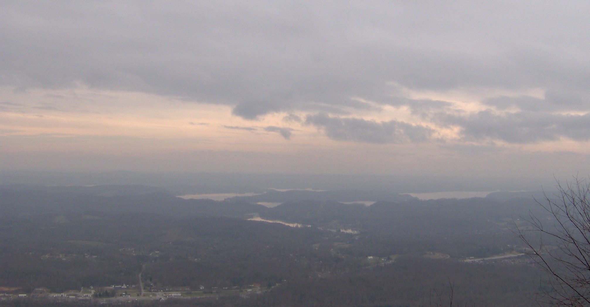
Description: The Tennessee Valley, looking east from Mount Roosevelt, at the edge of the Cumberland Plateau. The Watts Bar Lake impoundment of the Tennessee River is below, toward the center of the photograph. Part of Rockwood, Tennessee is in the lower left corner. On a clear day, the Great Smoky Mountains span the horizon.
Title: Tennessee-valley-mt-roosevelt1
Credit: Own work
Author: Brian Stansberry
Usage Terms: Creative Commons Attribution 3.0
License: CC BY 3.0
License Link: https://creativecommons.org/licenses/by/3.0
Attribution Required?: Yes
Image usage
The following page links to this image:

All content from Kiddle encyclopedia articles (including the article images and facts) can be freely used under Attribution-ShareAlike license, unless stated otherwise.