
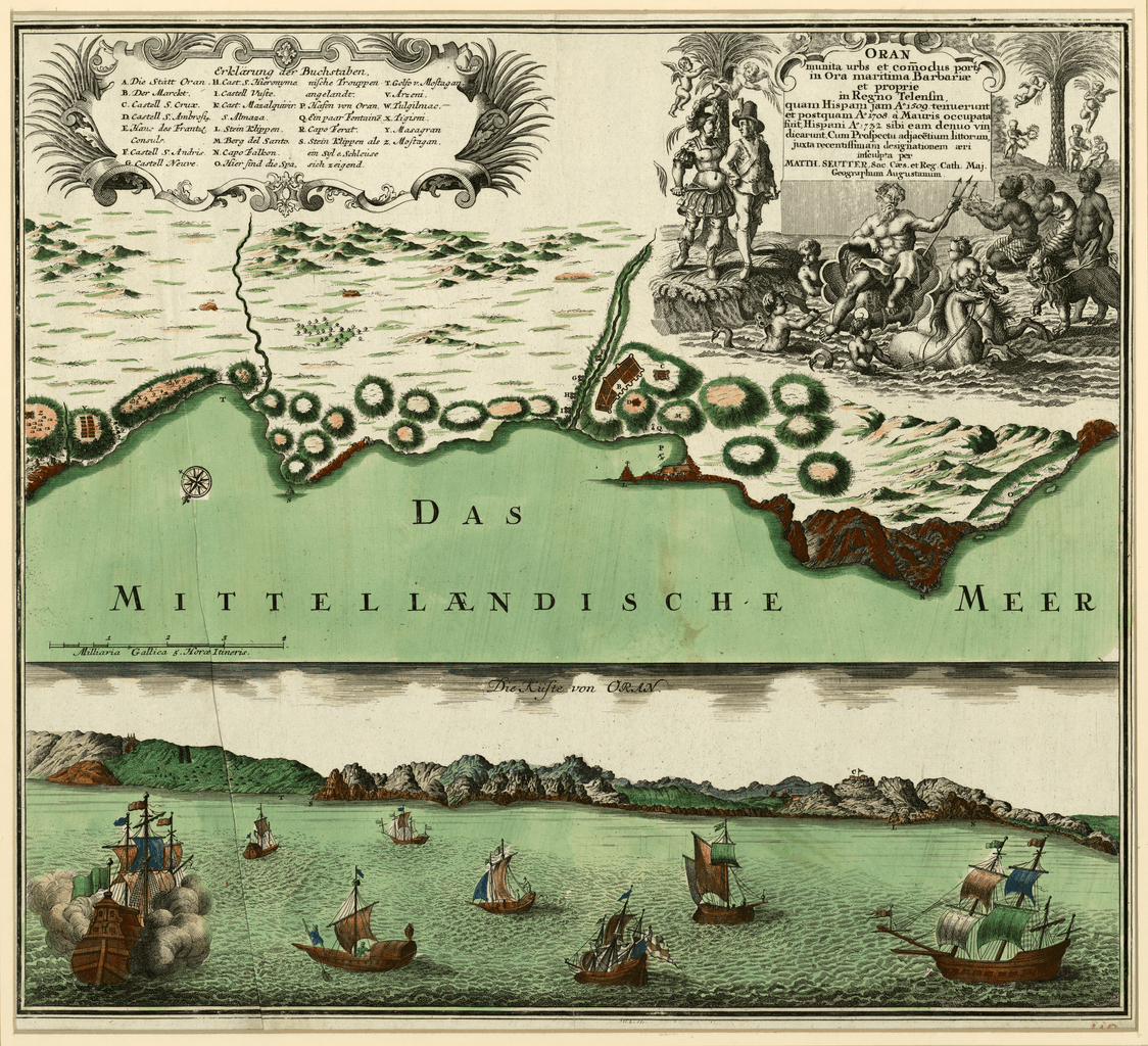
Image: The Fortified City of Oran on the Barbary Coast
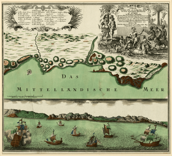
Size of this preview: 658 × 599 pixels. Other resolutions: 263 × 240 pixels | 1,124 × 1,024 pixels.
Original image (1,124 × 1,024 pixels, file size: 2.29 MB, MIME type: image/png)
Description: A two-part map showing the port of Oran, Algeria in the 18th century, by German map publisher Matthäus Seutter.
Title: The Fortified City of Oran on the Barbary Coast
Credit: Qatar National Library via the World Digital Library (https://www.wdl.org/en/item/17571/)
Author: Matthaeus Seutter
Usage Terms: Public domain
License: Public domain
Attribution Required?: No
Image usage
The following page links to this image:

All content from Kiddle encyclopedia articles (including the article images and facts) can be freely used under Attribution-ShareAlike license, unless stated otherwise.