
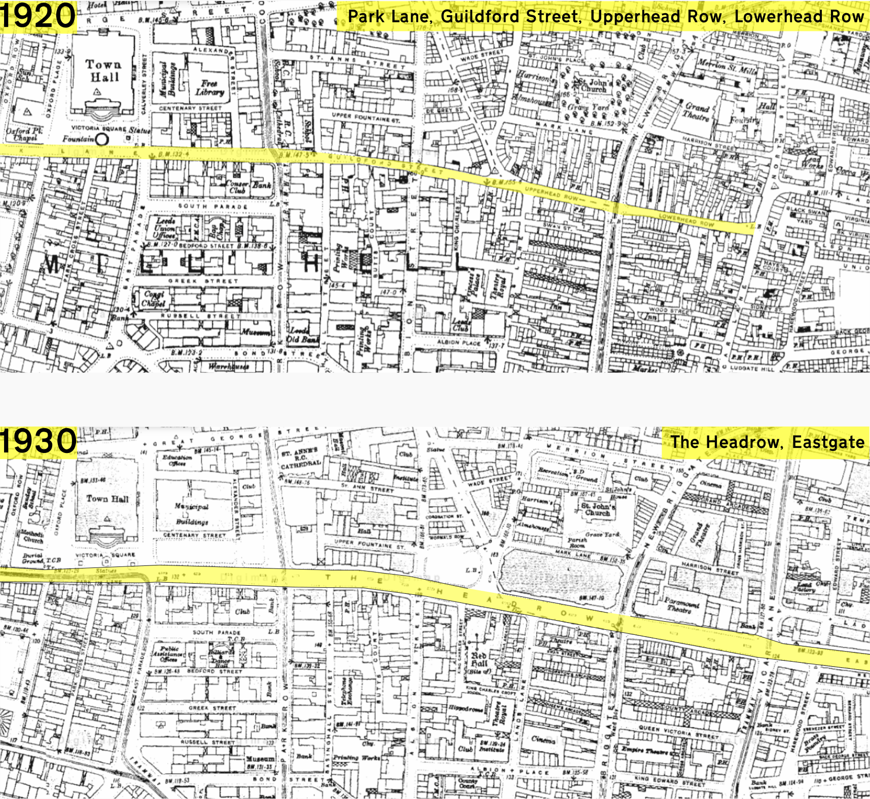
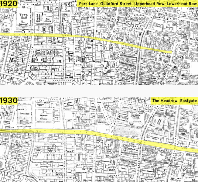
Image: The Headrow in 1920 & 1930
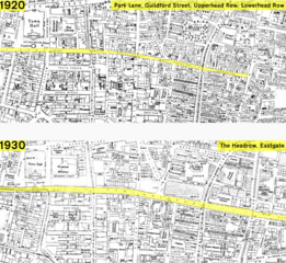
Size of this preview: 652 × 599 pixels. Other resolutions: 261 × 240 pixels | 1,716 × 1,577 pixels.
Original image (1,716 × 1,577 pixels, file size: 1.42 MB, MIME type: image/png)
Description: Route of the Headrow highlighted on maps from 1920 and 1930, showing its creation and widening.
Title: The Headrow in 1920 & 1930
Credit: Ordnance Survey via digimap.edina.ac.uk
Author: Ordnance Survey; composite edit by Rcsprinter123.
Usage Terms: Public domain
License: Public domain
Attribution Required?: No
Image usage
The following page links to this image:

All content from Kiddle encyclopedia articles (including the article images and facts) can be freely used under Attribution-ShareAlike license, unless stated otherwise.