
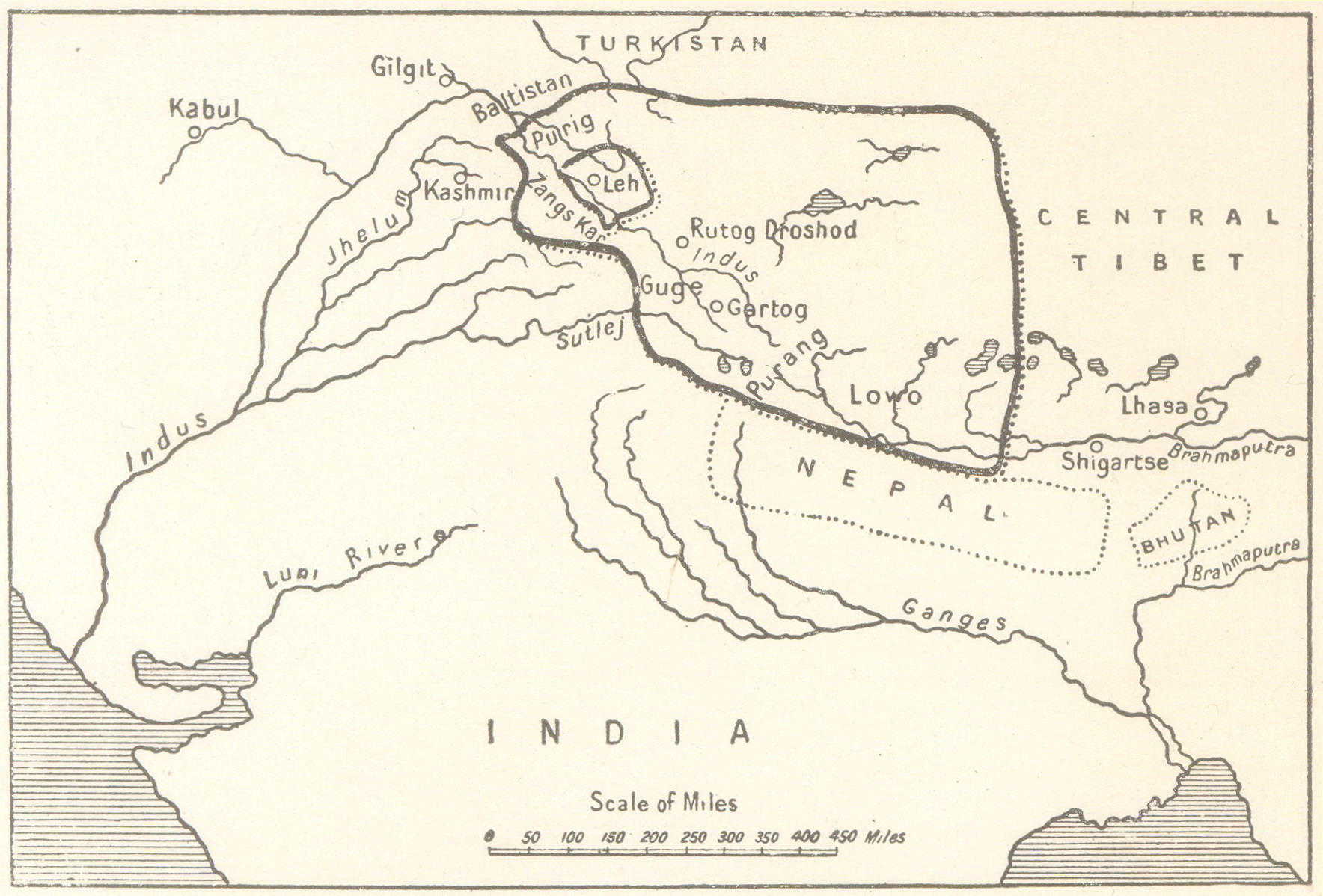
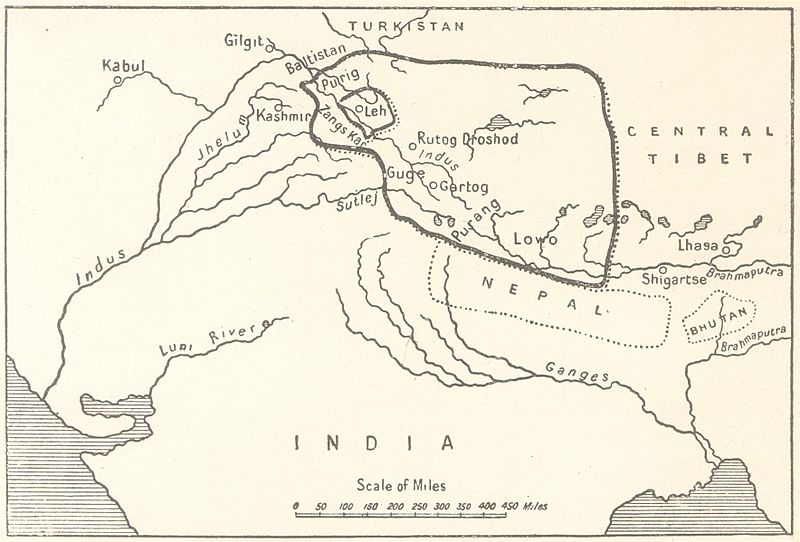
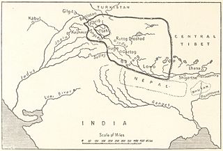
Image: The empire of King Tsewang Rnam Rgyal 1., and that of King Jamyang Rnam Rgyal., about 1560 and 1600 A.D
Description: The empire of King Tsewang Rnam Rgyal 1., and that of King Jamyang Rnam Rgyal., about 1560 and 1600 A.D. as depicted in A History of Western Tibet by A.H. Francke, 1907 republished as A History of Ladakh with Critical Introduction and Annotations by S.S. Gergan and F.M. Hassnain, depicting not just the Aksai Chin but also inter alia Rudokh and Guge and the area to the west of the ridges which separate the plateau of Tibet from the highlands of Kashmir wherein are the Aling Kangri and Mavang Kangri peaks, to the south of the Pulu Pass at the point where the Kuen Lun Range in Kashmir which runs southeast to northwest and the Altyn Tagh range in Tibet running southwest to northeast, converge forming a "V" shape and culminating near the vicinity of Mayum La, as integral part of Ladakh.
Title: The empire of King Tsewang Rnam Rgyal 1., and that of King Jamyang Rnam Rgyal., about 1560 and 1600 A.D
Credit: A History of Western Tibet by A.H. Francke, 1907 republished as A History of Ladakh
Author: A.H. Francke, S.S.Gergan and F.M. Hassnan
Usage Terms: Public domain
License: Public domain
Attribution Required?: No
Image usage
The following page links to this image:
