
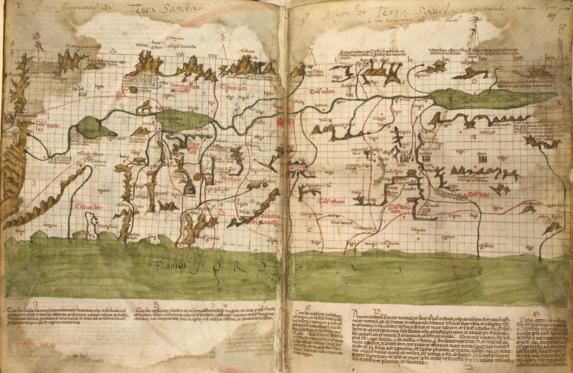
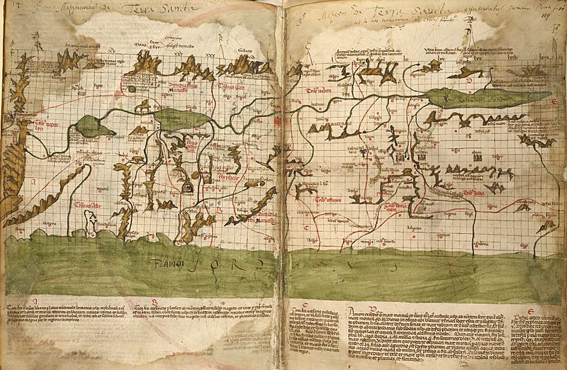
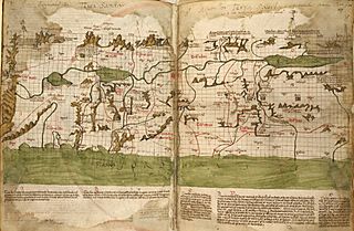
Image: The map of the Holy Land by Marino Sanudo (drawn in 1320)
Size of this preview: 800 × 522 pixels. Other resolutions: 320 × 209 pixels | 1,950 × 1,272 pixels.
Original image (1,950 × 1,272 pixels, file size: 1.07 MB, MIME type: image/jpeg)
Description: The map of the Holy Land by Marino Sanudo (drawn in 1320) Map orientation: north pointing left
Title: The map of the Holy Land by Marino Sanudo (drawn in 1320)
Credit: This file has been provided by the British Library from its digital collections. It is also made available on a British Library website. Catalogue entry: MS 27376 - 27376 Digitised manuscript
Author: Marino Sanuto the Elder (c. 1260 – 1338); Pietro Vesconte
Usage Terms: Public domain
License: Public domain
Attribution Required?: No
Image usage
The following page links to this image:

All content from Kiddle encyclopedia articles (including the article images and facts) can be freely used under Attribution-ShareAlike license, unless stated otherwise.
.jpg)