
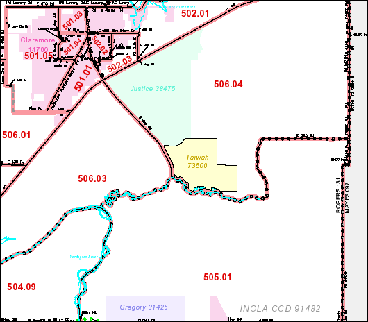
Image: Tiawah CDP map
No higher resolution available.
Tiawah_CDP_map.png (530 × 464 pixels, file size: 29 KB, MIME type: image/png)
Description: Detail of map made by the US Census Bureau [1] and is in the public domain.
Title: Tiawah CDP map
Usage Terms: Public domain
License: Public domain
Attribution Required?: No
Image usage
The following page links to this image:

All content from Kiddle encyclopedia articles (including the article images and facts) can be freely used under Attribution-ShareAlike license, unless stated otherwise.