
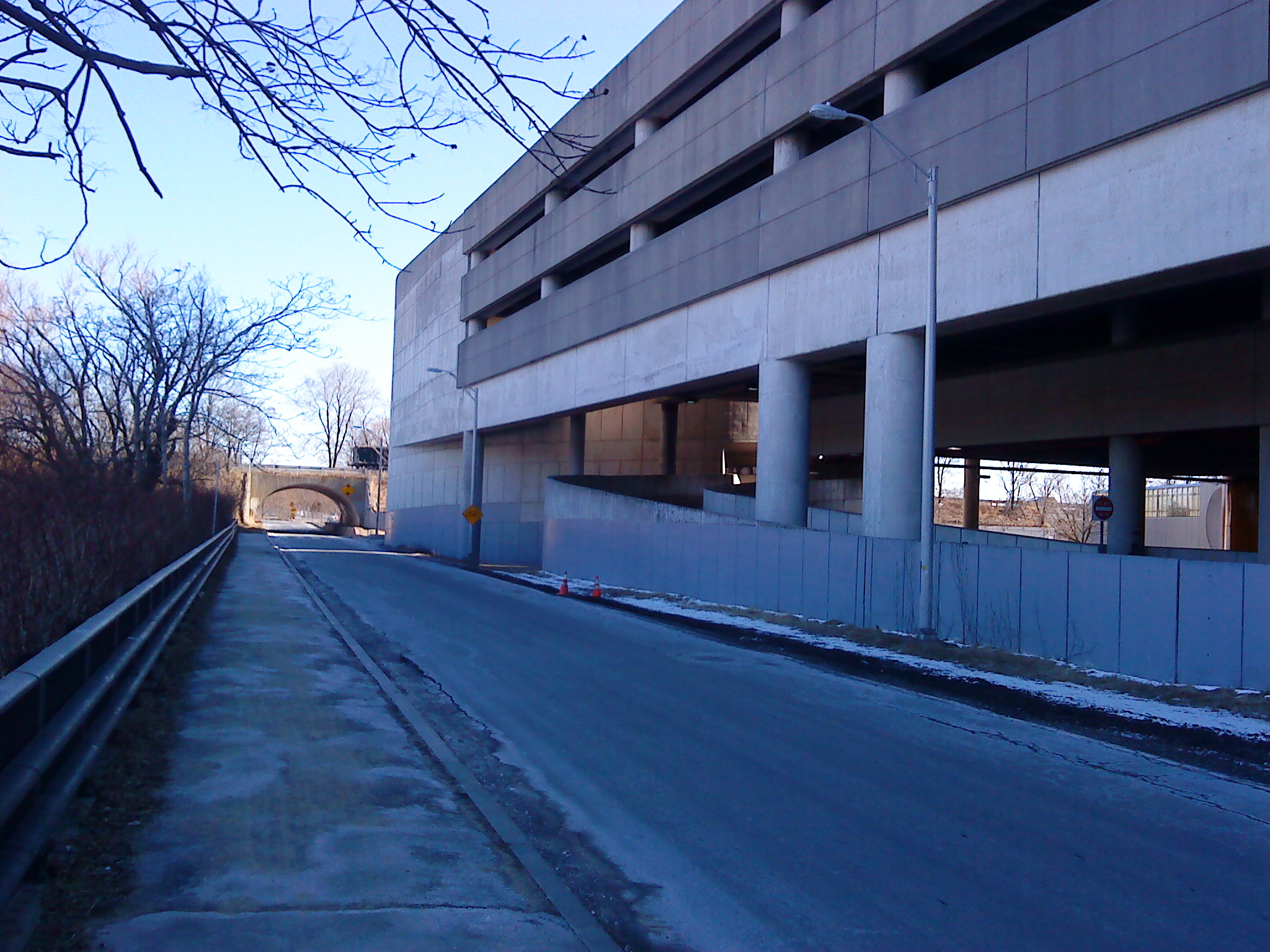
Image: Trail connector along Alewife Station Access Road, February 2010
Size of this preview: 800 × 600 pixels. Other resolutions: 320 × 240 pixels | 2,048 × 1,536 pixels.
Original image (2,048 × 1,536 pixels, file size: 899 KB, MIME type: image/jpeg)
Description: Sidewalk and road which connects both the Minuteman Bikeway and the Cambridge Linear Park. At the right is Alewife station. This connector crosses the road just ahead of the tunnel. This image highlights the blind corner for bikers and motorists at the tunnel crosswalk.
Title: Trail connector along Alewife Station Access Road, February 2010
Credit: Own work
Author: CaribDigita
Usage Terms: Public domain
License: Public domain
Attribution Required?: No
Image usage
The following page links to this image:

All content from Kiddle encyclopedia articles (including the article images and facts) can be freely used under Attribution-ShareAlike license, unless stated otherwise.