
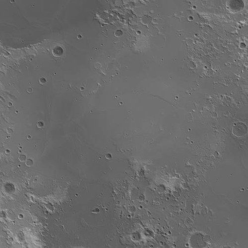
Image: Tranquillitatis basin topo
No higher resolution available.
Tranquillitatis_basin_topo.jpg (500 × 500 pixels, file size: 39 KB, MIME type: image/jpeg)
Description: Mare Tranquillitatis topographic map (light gray=high, dark gray=low). Generated from LOLA 1024ppd Elevation - Numeric layer with LRO-WAC Shaded Relief layer at 30% opacity overlain.
Title: Tranquillitatis basin topo
Credit: Transferred from en.wikipedia to Commons. (Original text: JMARS)
Author: James Stuby / NASA / Arizona State Univ.
Usage Terms: Public domain
License: Public domain
Attribution Required?: No
Image usage
The following page links to this image:

All content from Kiddle encyclopedia articles (including the article images and facts) can be freely used under Attribution-ShareAlike license, unless stated otherwise.