
Image: Travilah South

Size of this preview: 800 × 515 pixels. Other resolutions: 320 × 206 pixels | 1,003 × 646 pixels.
Original image (1,003 × 646 pixels, file size: 69 KB, MIME type: image/png)
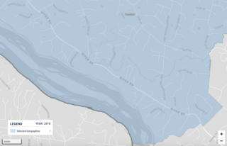
Description: Map of southern portion of Travilah CDP, Maryland, cropped from US Census with enough zoom to allow road detail.
Title: Travilah South
Credit: US Census
Author: US Census map cropped by TwoScarsUp
Usage Terms: Public domain
License: Public domain
Attribution Required?: No
Image usage
The following page links to this image:

All content from Kiddle encyclopedia articles (including the article images and facts) can be freely used under Attribution-ShareAlike license, unless stated otherwise.