
Image: Treason Site Historic Marker

Size of this preview: 800 × 536 pixels. Other resolutions: 320 × 214 pixels | 3,872 × 2,592 pixels.
Original image (3,872 × 2,592 pixels, file size: 6.34 MB, MIME type: image/jpeg)
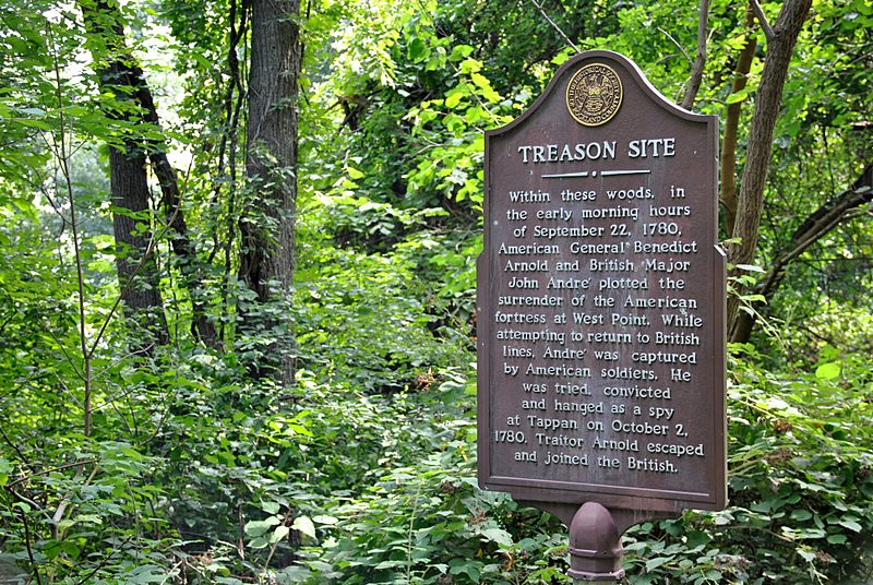
Description: Location where American General Arnold and British Major John Andre plotted to surrender West Point. Located on the shore pathway south of Haverstraw in the historic Dutchtown area, 41.1779, -73.9434.
Title: Treason Site Historic Marker
Credit: Own work
Author: NYErik
Usage Terms: Creative Commons Attribution-Share Alike 4.0
License: CC BY-SA 4.0
License Link: https://creativecommons.org/licenses/by-sa/4.0
Attribution Required?: Yes
Image usage
The following page links to this image:

All content from Kiddle encyclopedia articles (including the article images and facts) can be freely used under Attribution-ShareAlike license, unless stated otherwise.