
Image: Trig point within Bartine Castle, Bartinney Downs - geograph.org.uk - 40934
No higher resolution available.
Trig_point_within_Bartine_Castle,_Bartinney_Downs_-_geograph.org.uk_-_40934.jpg (640 × 480 pixels, file size: 178 KB, MIME type: image/jpeg)
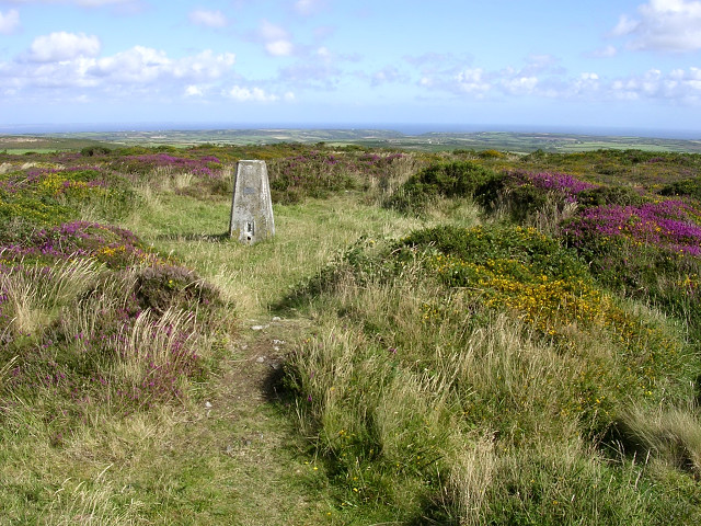
Description: Trig point within Bartine Castle, Bartinney Downs. The castle is in fact an iron age inclosure, whose circular earthen bank still remains on top of this broad hill. Much of the hill is covered with gorse and heather, with the remains of prehistoric settlement below.
Title: Trig point within Bartine Castle, Bartinney Downs - geograph.org.uk - 40934
Credit: From geograph.org.uk
Author: Jim Champion
Usage Terms: Creative Commons Attribution-Share Alike 2.0
License: CC BY-SA 2.0
License Link: https://creativecommons.org/licenses/by-sa/2.0
Attribution Required?: Yes
Image usage
The following page links to this image:

All content from Kiddle encyclopedia articles (including the article images and facts) can be freely used under Attribution-ShareAlike license, unless stated otherwise.