
Image: Tropical Storm Beryl (2000)
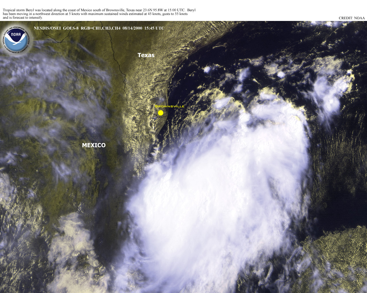
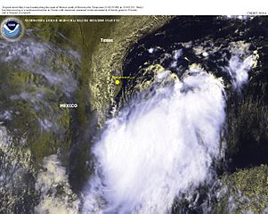
Description: Tropical Storm Beryl was located along the coast of Mexico south of Brownsville, Texas near 23.6N 95.8W at 15:00 UTC. Beryl had been moving in a northwest direction at 5 knots with maximum sustained winds at 45 knots, gusts to 55 knots and was forecast to intensify.
Title: Tropical Storm Beryl (2000)
Credit: http://www.osei.noaa.gov/Events/Tropical/Atlantic/2000/TRCberyl227_G8.jpg
Author: NOAA / Operational Significant Event Imagery
Permission: This image is in the public domain because it contains materials that originally came from the U.S. National Oceanic and Atmospheric Administration, taken or made as part of an employee's official duties. Čeština | Deutsch | Zazaki | English | Español | Eesti | Suomi | Français | Magyar | Italiano | 日本語 | 한국어 | Македонски | മലയാളം | Plattdüütsch | Nederlands | Polski | Português | Română | Русский | Sicilianu | Slovenščina | Türkçe | 中文 | 中文(简体) | +/− The NOAA emblem is the property of the U.S. Government and a trademark of the United States Department of Commerce.
Usage Terms: Public domain
License: Public domain
Attribution Required?: No
Image usage
The following page links to this image:

.jpg)