
Image: Tshiuetin Rail Transportation map
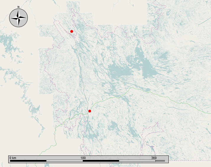
Description: Map showing the Tshiuetin Rail Transportation line from Schefferville Quebec to Emeril Junction, Labrador. The rail line runs between the two red dots as shown.
Title: Tshiuetin Rail Transportation map
Credit: Own work
Author: Self-made by the uploader, using OpenStreetMaps and GIMP
Permission: This work contains information from OpenStreetMap, which is made available under the Open Database License (ODbL). The ODbL does not require any particular license for maps produced from ODbL data. Prior to 1 August 2020, map tiles produced by the OpenStreetMap Foundation were licensed under the CC-BY-SA-2.0 license. Maps produced by other people may be subject to other licences.Open Database LicenseODbLhttp://opendatacommons.org/licenses/odbl/1.0/true
Usage Terms: Open Database License
License: ODbL
License Link: http://opendatacommons.org/licenses/odbl/1.0/
Attribution Required?: Yes
Image usage
The following page links to this image:
