
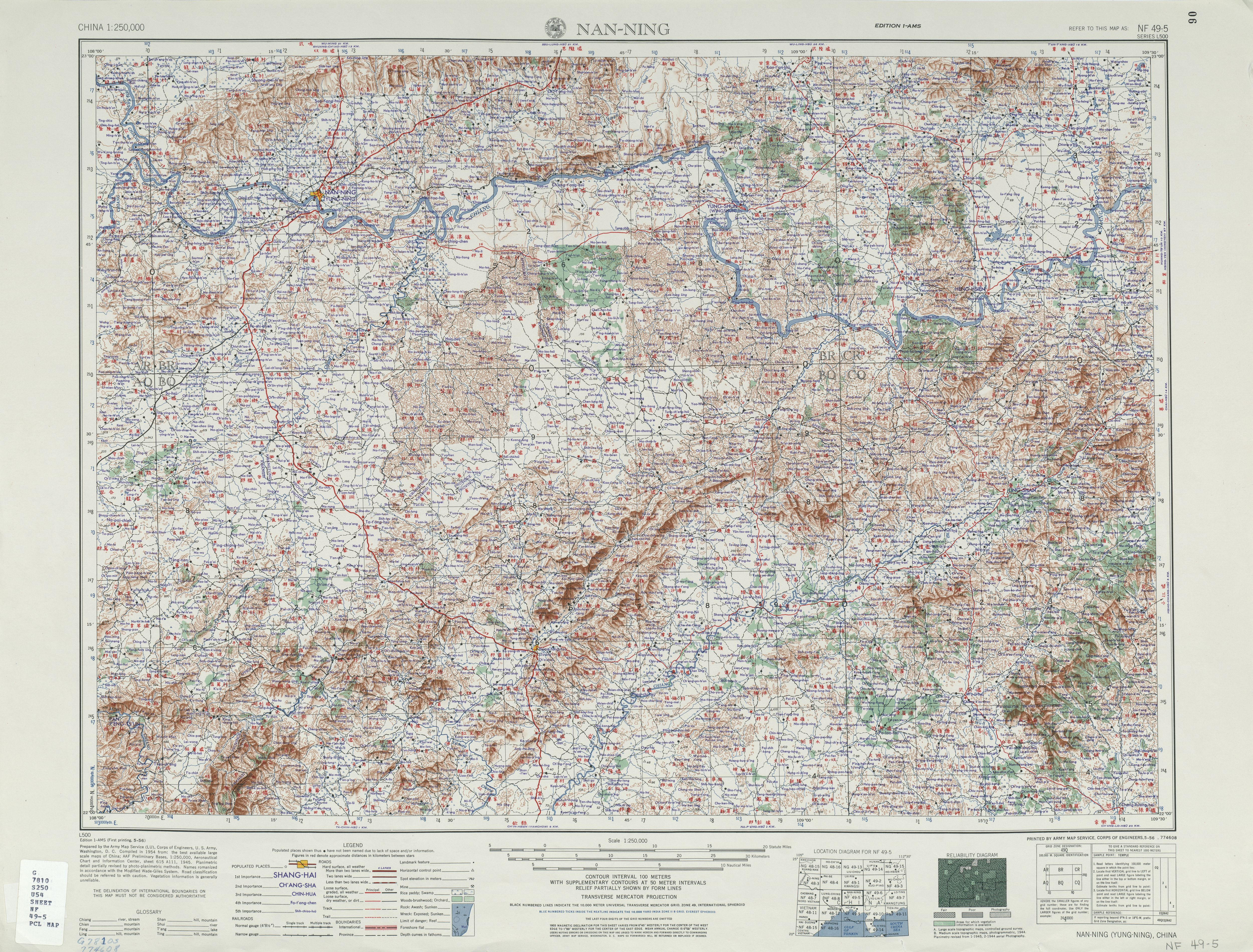
Image: Txu-oclc-10552568-nf49-5
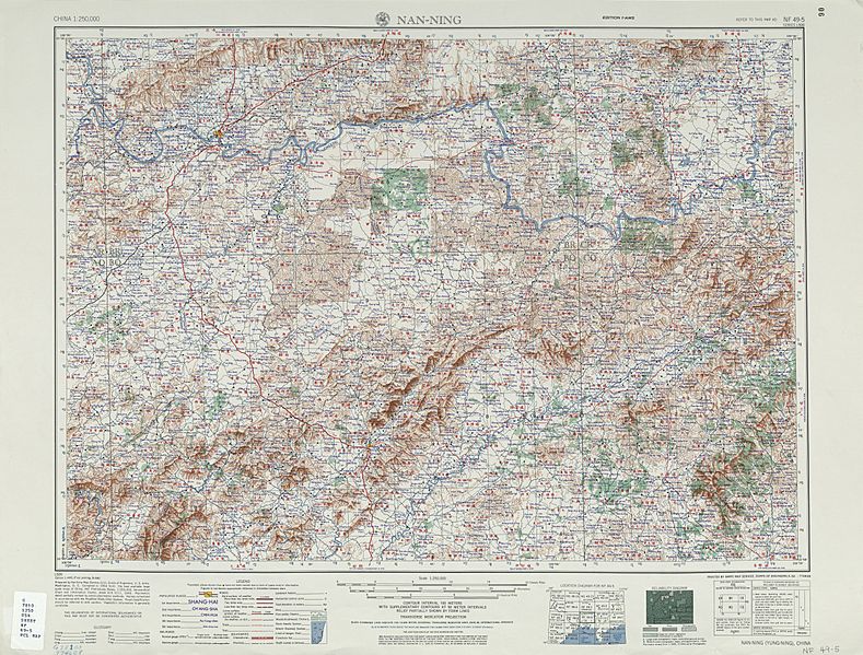
Size of this preview: 789 × 599 pixels. Other resolutions: 316 × 240 pixels | 5,000 × 3,799 pixels.
Original image (5,000 × 3,799 pixels, file size: 5.96 MB, MIME type: image/jpeg)
Description: Map of Naning (Nan-ning, Yung-ning) area, Guangxi
Title: Txu-oclc-10552568-nf49-5
Credit: http://legacy.lib.utexas.edu/maps/ams/china/txu-oclc-10552568-nf49-5.jpg
Author: Army Map Service (LU), Corps of Engineers 1954
Usage Terms: Public domain
License: Public domain
Attribution Required?: No
Image usage
The following page links to this image:

All content from Kiddle encyclopedia articles (including the article images and facts) can be freely used under Attribution-ShareAlike license, unless stated otherwise.