
Image: USGS Map 1970 Truhart Quad Excerpt King and Queen County

Size of this preview: 800 × 423 pixels. Other resolutions: 320 × 169 pixels | 1,391 × 736 pixels.
Original image (1,391 × 736 pixels, file size: 769 KB, MIME type: image/png)
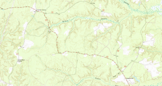
Description: Excerpt of 1970 USGS Map, Truhart Quadrangle, King and Queen County, Virginia (Scale 1:24000) showing Allen Shop Corner, Carlton Corner, and Dragonville
Title: USGS Map 1970 Truhart Quad Excerpt King and Queen County
Credit: https://ngmdb.usgs.gov/ht-bin/tv_browse.pl?id=a56e77e79a464557d5bf1c0823ae1073
Author: United States Geological Survey
Usage Terms: Public domain
License: Public domain
Attribution Required?: No
Image usage
The following page links to this image:

All content from Kiddle encyclopedia articles (including the article images and facts) can be freely used under Attribution-ShareAlike license, unless stated otherwise.