
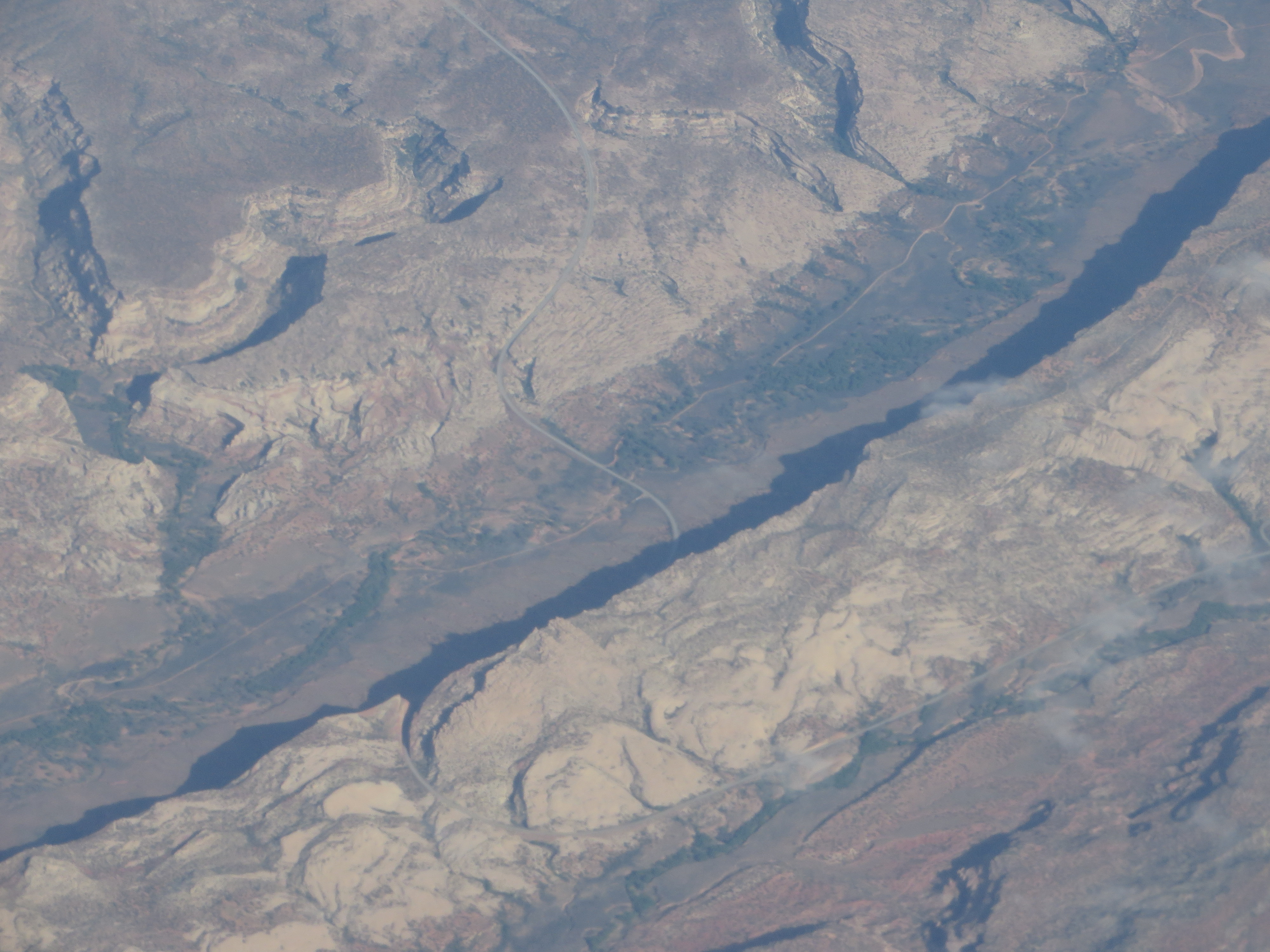
Image: Utah State Route 95 Crossing Comb Wash and Comb Ridge (14201225712)
Description: Comb Ridge is a linear north to south-trending monocline nearly 80 miles long in southeast Utah and northeast Arizona. Its northern end merges with the Abajo Mountains some eleven miles west of Blanding. It extends essentially due south for 45 km (28 mi) to the San Juan River. South of the San Juan the ridge turns to the southwest and is more subdued in expression as it extends for an additional 67 km (42 mi) to Laguna Creek 9 km (5.6 mi) east of Kayenta, Arizona. It was designated a National Natural Landmark in 1976 as the only North American location of tritylodont fossils. The geologic formations involved in the east dipping strata of the fold include the Jurassic aged Navajo Sandstone, Kayenta Formation, Wingate Sandstone, Chinle Formation, Triassic Moenkopi Formation and Permian Organ Rock Formation. The structure is the surface expression of a deep fault along the east margin of the Monument Uplift. Numerous cliff dwellings are found along the ridge. en.wikipedia.org/wiki/Comb_Ridge en.wikipedia.org/wiki/Wikipedia:Text_of_Creative_Commons_...
Title: Utah State Route 95 Crossing Comb Wash and Comb Ridge (14201225712)
Credit: Utah State Route 95 Crossing Comb Wash and Comb Ridge
Author: Ken Lund from Reno, Nevada, USA
Usage Terms: Creative Commons Attribution-Share Alike 2.0
License: CC BY-SA 2.0
License Link: http://creativecommons.org/licenses/by-sa/2.0
Attribution Required?: Yes
Image usage
The following page links to this image:

.jpg)