
Image: VOC Octrooigebied 1
Size of this preview: 800 × 585 pixels. Other resolutions: 320 × 234 pixels | 2,268 × 1,659 pixels.
Original image (2,268 × 1,659 pixels, file size: 626 KB, MIME type: image/jpeg)
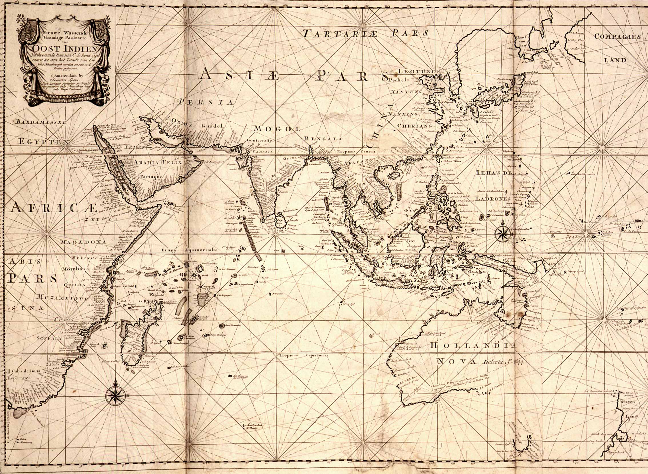
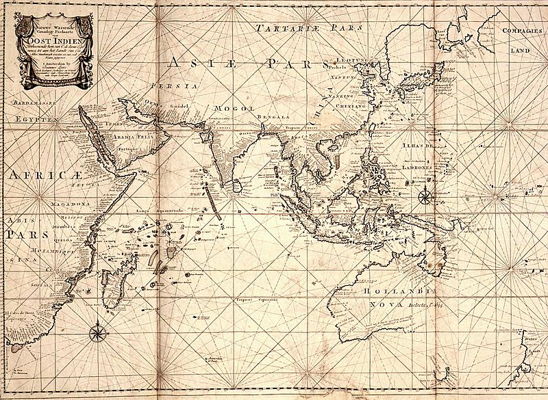
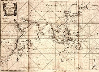
Description: Map of the East Indies; the official trade zone (octrooigebied) of the VOC according to the VOC Charter, which was between Cape of Good Hope (South Africa) and Street Magallan (South America); printed c. 1700.
Title: VOC Octrooigebied 1
Credit: TANAP
Usage Terms: Public domain
License: Public domain
Attribution Required?: No
Image usage
There are no pages that link to this image.

All content from Kiddle encyclopedia articles (including the article images and facts) can be freely used under Attribution-ShareAlike license, unless stated otherwise.