
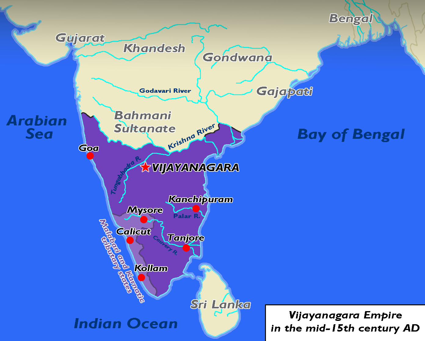
Image: Vijayanagara 1450s
Size of this preview: 747 × 600 pixels. Other resolutions: 299 × 240 pixels | 1,392 × 1,118 pixels.
Original image (1,392 × 1,118 pixels, file size: 78 KB, MIME type: image/png)
Description: Map of the hindu Vijayanagara Empire in the mid-15th century including its tributary states in the Malabar coast and modern-day Karnataka
Title: Vijayanagara 1450s
Credit: Own work
Author: Wario2
Usage Terms: Creative Commons Attribution-Share Alike 4.0
License: CC BY-SA 4.0
License Link: https://creativecommons.org/licenses/by-sa/4.0
Attribution Required?: Yes
Image usage
The following 2 pages link to this image:

All content from Kiddle encyclopedia articles (including the article images and facts) can be freely used under Attribution-ShareAlike license, unless stated otherwise.