
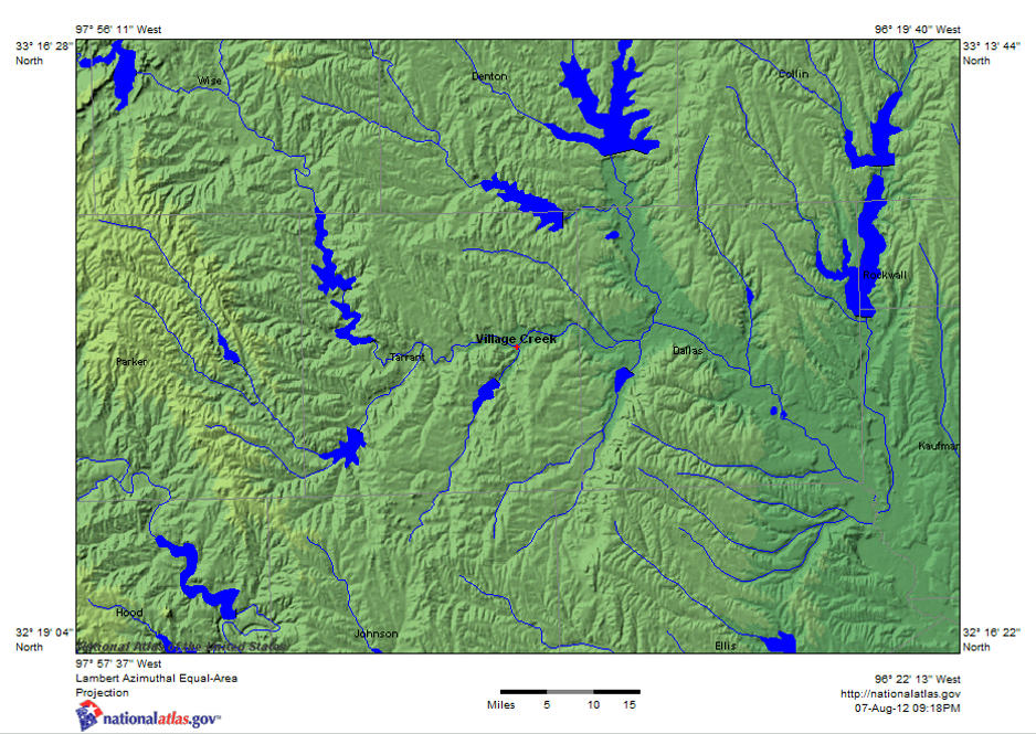
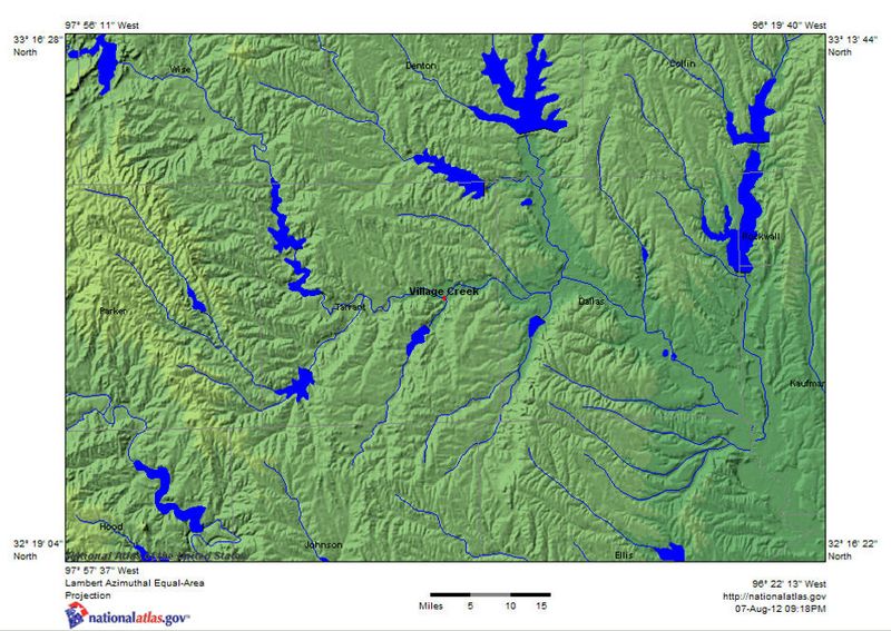
Image: VillageCreek TarrantCounty Shaded Relief Map
Size of this preview: 800 × 567 pixels. Other resolutions: 320 × 227 pixels | 938 × 665 pixels.
Original image (938 × 665 pixels, file size: 165 KB, MIME type: image/jpeg)
Description: Satellite image with shaded relief map of Village Creek in east Tarrant county
Title: VillageCreek TarrantCounty Shaded Relief Map
Credit: http://nationalatlas.gov
Author: U.S. Geological Survey
Usage Terms: Public domain
License: PD
Attribution Required?: No
Image usage
The following page links to this image:

All content from Kiddle encyclopedia articles (including the article images and facts) can be freely used under Attribution-ShareAlike license, unless stated otherwise.