
Image: Villes assyriennes
Size of this preview: 800 × 578 pixels. Other resolutions: 320 × 231 pixels | 1,117 × 807 pixels.
Original image (1,117 × 807 pixels, file size: 385 KB, MIME type: image/png)
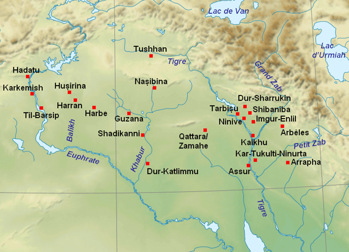
Description: Map with the main cities of Assyria and Upper Mesopotamia during the medio-assyrian (ca. 1365-934 BC) and neo-assyrian period (ca. 934-609 BC).
Title: Villes assyriennes
Credit: Near_East_topographic_map-blank.svg
Author: Near_East_topographic_map-blank.svg: Sémhur derivative work: Zunkir (talk)
Usage Terms: Creative Commons Attribution-Share Alike 3.0
License: CC BY-SA 3.0
License Link: https://creativecommons.org/licenses/by-sa/3.0
Attribution Required?: Yes
Image usage
The following page links to this image:

All content from Kiddle encyclopedia articles (including the article images and facts) can be freely used under Attribution-ShareAlike license, unless stated otherwise.